File:NAJDA-185-0112 泰西図説 地.pdf
Jump to navigation
Jump to search

Size of this JPG preview of this PDF file: 800 × 538 pixels. Other resolutions: 320 × 215 pixels | 640 × 430 pixels | 1,024 × 688 pixels | 1,280 × 860 pixels | 2,287 × 1,537 pixels.

Original file (2,287 × 1,537 pixels, file size: 5.89 MB, MIME type: application/pdf, 47 pages)
Captions
Captions
Add a one-line explanation of what this file represents
Summary
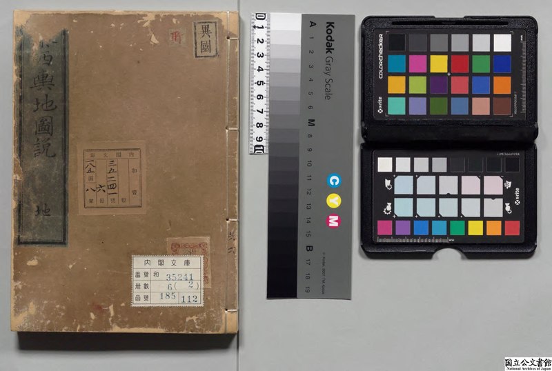
[edit]| 泰西図説 地
( |
|||||||||||||||||||||||||||
|---|---|---|---|---|---|---|---|---|---|---|---|---|---|---|---|---|---|---|---|---|---|---|---|---|---|---|---|
| Author |
著者:朽木昌綱 |
 | |||||||||||||||||||||||||
| Title |
泰西図説 地 |
||||||||||||||||||||||||||
| Edition | 刊本,寛政01年 | ||||||||||||||||||||||||||
| Language | Japanese | ||||||||||||||||||||||||||
| Accession number |
185-0112 |
||||||||||||||||||||||||||
| Source |
https://www.digital.archives.go.jp/DAS/contents/pdf/pdf/01850112000020/0001.pdf 編修地志備用典籍 |
||||||||||||||||||||||||||
Licensing
[edit]|
This work is in the public domain in its country of origin and other countries and areas where the copyright term is the author's life plus 70 years or fewer. | |
| This file has been identified as being free of known restrictions under copyright law, including all related and neighboring rights. | |
File history
Click on a date/time to view the file as it appeared at that time.
| Date/Time | Thumbnail | Dimensions | User | Comment | |
|---|---|---|---|---|---|
| current | 16:49, 27 September 2020 |  | 2,287 × 1,537, 47 pages (5.89 MB) | Wmr-bot (talk | contribs) |
You cannot overwrite this file.
File usage on Commons
The following page uses this file: