File:Montgomery County, Maryland LOC 81690009.jpg
Jump to navigation
Jump to search
Size of this preview: 667 × 600 pixels. Other resolutions: 267 × 240 pixels | 534 × 480 pixels | 854 × 768 pixels | 1,139 × 1,024 pixels | 2,277 × 2,048 pixels | 6,164 × 5,544 pixels.
Original file (6,164 × 5,544 pixels, file size: 3.35 MB, MIME type: image/jpeg)
Captions
Captions
Add a one-line explanation of what this file represents
Summary
[edit]| Description |
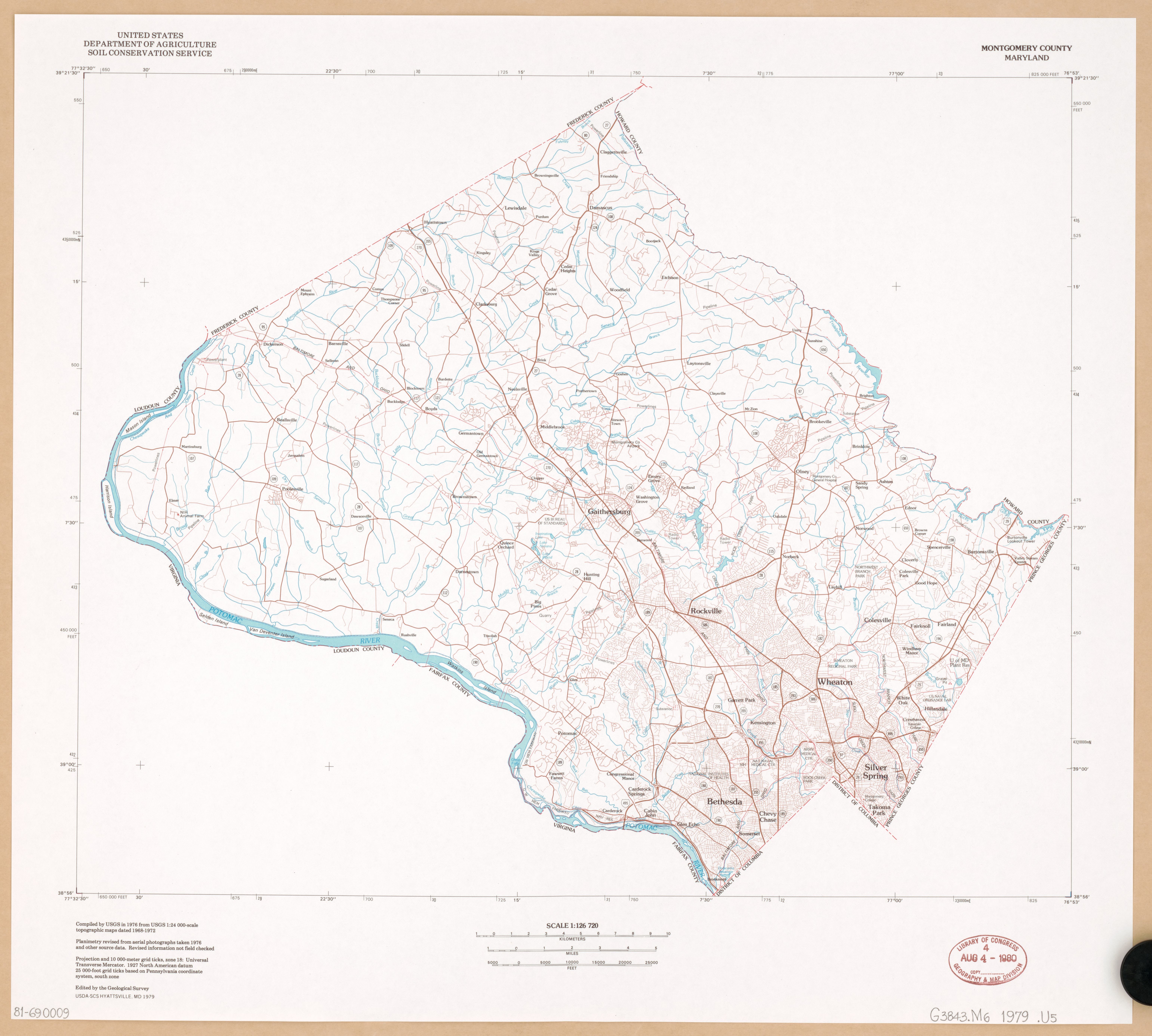
English: "Compiled by USGS in 1976 from USGS 1:24,000-scale topographic maps dated 1968-1972." "Planimetry revised from aerial photographs taken 1976 and other source data." Available also through the Library of Congress Web site as a raster image. |
||
| Title | Montgomery County, Maryland | ||
| Shelf ID | G3843.M6 1979 .U5 | ||
| Date | |||
| Source | https://www.loc.gov/item/81690009/ | ||
| Author | United States. Soil Conservation Service; Geological Survey (U.S.) | ||
| Permission (Reusing this file) |
|
||
| Other versions |
|
||
| Location | United States · Maryland · Montgomery County. · Montgomery County | ||
| Part of | American Memory · Catalog · Geography And Map Division · Additional Conservation And Environment Cartographic Items | ||
| Subject | United States · Maps · Maryland · Montgomery County · Montgomery County (Md.) |


Licensing
[edit]
This image is in the public domain in the United States because it only contains materials that originally came from the United States Geological Survey, an agency of the United States Department of the Interior. For more information, see the official USGS copyright policy.
|
File history
Click on a date/time to view the file as it appeared at that time.
| Date/Time | Thumbnail | Dimensions | User | Comment | |
|---|---|---|---|---|---|
| current | 06:21, 21 May 2018 | | 6,164 × 5,544 (3.35 MB) | Fæ (talk | contribs) | LOC Maps https://www.loc.gov/item/81690009/ #12693 |
You cannot overwrite this file.
File usage on Commons
The following 2 pages use this file: