File:Moine Thrust in Allt Duisdale - geograph.org.uk - 1427090.jpg
Jump to navigation
Jump to search
No higher resolution available.
Moine_Thrust_in_Allt_Duisdale_-_geograph.org.uk_-_1427090.jpg (640 × 480 pixels, file size: 120 KB, MIME type: image/jpeg)
Captions
Captions
Add a one-line explanation of what this file represents
Summary
[edit]
| Description |
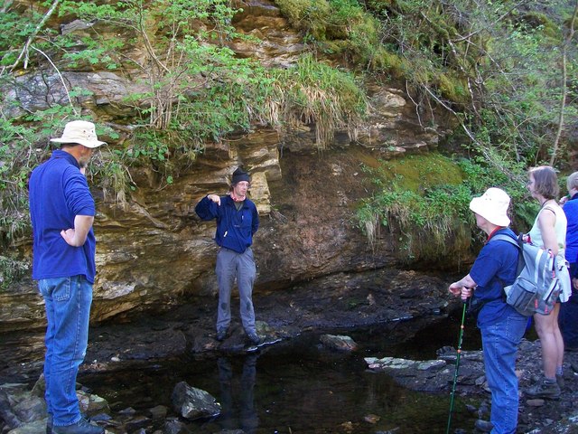
English: Moine Thrust in Allt Duisdale An Open University Geological Society party is having explained to them how the 2 billion year old Lewisian rocks come to be alongside the 600 million year old Torridonian rocks. |
| Date | |
| Source | From geograph.org.uk |
| Author | CHARLES GORDON CLARK |
| Attribution (required by the license) | CHARLES GORDON CLARK / Moine Thrust in Allt Duisdale / |
| Camera location | | View this and other nearby images on: OpenStreetMap |
|---|
_heading:225.00&language=en)
| Object location | | View this and other nearby images on: OpenStreetMap |
|---|
_heading:225.00&language=en)
Licensing
[edit]

|
This image was taken from the Geograph project collection. See this photograph's page on the Geograph website for the photographer's contact details. The copyright on this image is owned by CHARLES GORDON CLARK and is licensed for reuse under the Creative Commons Attribution-ShareAlike 2.0 license.
|
This file is licensed under the Creative Commons Attribution-Share Alike 2.0 Generic license.
Attribution: CHARLES GORDON CLARK
- You are free:
- to share – to copy, distribute and transmit the work
- to remix – to adapt the work
- Under the following conditions:
- attribution – You must give appropriate credit, provide a link to the license, and indicate if changes were made. You may do so in any reasonable manner, but not in any way that suggests the licensor endorses you or your use.
- share alike – If you remix, transform, or build upon the material, you must distribute your contributions under the same or compatible license as the original.

|
Although this work is freely licensed or in the public domain, the person(s) shown may have rights that legally restrict certain re-uses unless those depicted consent to such uses. In these cases, a model release or other evidence of consent could protect you from infringement claims. Though not obliged to do so, the uploader may be able to help you to obtain such evidence. See our general disclaimer for more information. |
File history
Click on a date/time to view the file as it appeared at that time.
| Date/Time | Thumbnail | Dimensions | User | Comment | |
|---|---|---|---|---|---|
| current | 19:55, 1 March 2011 | | 640 × 480 (120 KB) | GeographBot (talk | contribs) | == {{int:filedesc}} == {{Information |description={{en|1=Moine Thrust in Allt Duisdale An Open University Geological Society party is having explained to them how the 2 billion year old Lewisian rocks come to be alongside the 600 million year old Torridon |
You cannot overwrite this file.
File usage on Commons
There are no pages that use this file.