File:Mark Meißen und Lausitz um 1600, Bartholomäus Scultetus.jpg
Jump to navigation
Jump to search

Size of this preview: 422 × 600 pixels. Other resolutions: 169 × 240 pixels | 337 × 480 pixels | 540 × 768 pixels | 720 × 1,024 pixels | 1,406 × 1,999 pixels.
Original file (1,406 × 1,999 pixels, file size: 627 KB, MIME type: image/jpeg)
Captions
Captions
Add a one-line explanation of what this file represents
Summary
[edit]| Description |
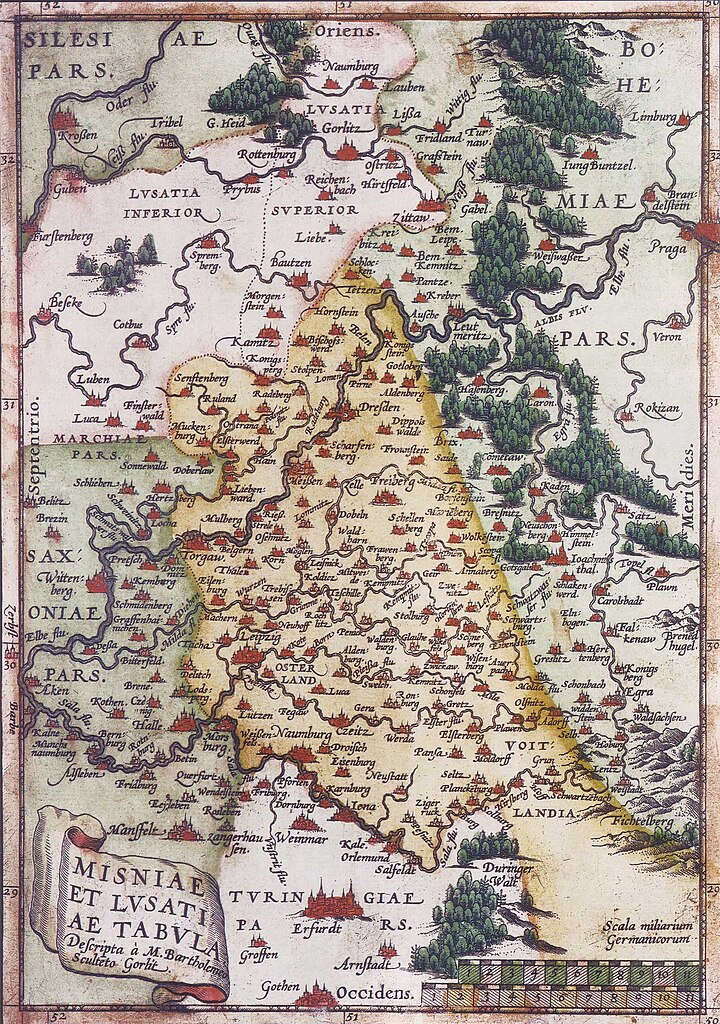
Deutsch: Karte der Mark Meißen und der Lausitz um 1600; Norden ist links und die Blickrichtung geht von West nach Ost. English: Map of Meissen an Lusatia around 1600; North to the left |
||||||||||||||||||||
| Date | circa 1600 | ||||||||||||||||||||
| Source | |||||||||||||||||||||
| Author |
|
||||||||||||||||||||
| Other versions |
 |
||||||||||||||||||||

Licensing
[edit]
|
This work is in the public domain in its country of origin and other countries and areas where the copyright term is the author's life plus 70 years or fewer. | |
| This file has been identified as being free of known restrictions under copyright law, including all related and neighboring rights. | |
File history
Click on a date/time to view the file as it appeared at that time.
| Date/Time | Thumbnail | Dimensions | User | Comment | |
|---|---|---|---|---|---|
| current | 16:36, 26 March 2006 | | 1,406 × 1,999 (627 KB) | Torsten Schleese (talk | contribs) | Karte der Mark Meíßen und der Lausitz um 1600 Category:Torsten Schleese {{PD-old}} |
You cannot overwrite this file.
File usage on Commons
The following 3 pages use this file:
File usage on other wikis
The following other wikis use this file:
- Usage on be.wikipedia.org
- Usage on bg.wikipedia.org
- Usage on cs.wikipedia.org
- Usage on de.wikipedia.org
- Usage on it.wikipedia.org
- Usage on pl.wikipedia.org
- Usage on ru.wikipedia.org
- Usage on uk.wikipedia.org