File:Mapa de una parte del Rio Apaporis - comprehendida desde su entrada en el Rio Yapura hasta la población de los Yndios Corotus LOC 2008627940.tif
Jump to navigation
Jump to search

Size of this JPG preview of this TIF file: 800 × 522 pixels. Other resolutions: 320 × 209 pixels | 640 × 417 pixels | 1,024 × 668 pixels | 1,280 × 834 pixels | 2,560 × 1,669 pixels | 7,875 × 5,134 pixels.
Original file (7,875 × 5,134 pixels, file size: 115.67 MB, MIME type: image/tiff)
Captions
Captions
Add a one-line explanation of what this file represents
Summary
[edit]| Description |
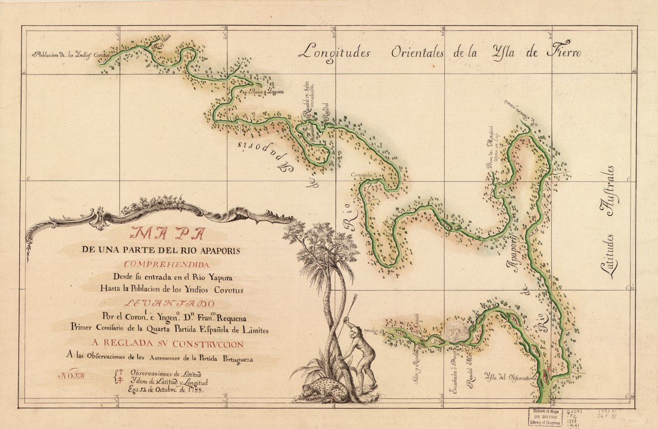
English: "Ega 12 de octubre de 1788." Relief shown by form lines. Pen-and-ink and watercolor. Available also through the Library of Congress Web site as a raster image. Includes ill. LC Luso-Hispanic World, 256 Vault |
||
| Title | Mapa de una parte del Rio Apaporis : comprehendida desde su entrada en el Rio Yapura hasta la población de los Yndios Corotus | ||
| Shelf ID | G5292.A6 1788 .R4 | ||
| Date | |||
| Source | https://www.loc.gov/item/2008627940/ | ||
| Author | Requena, Francisco | ||
| Permission (Reusing this file) |
|
||
| Other versions |
|
||
| Location | Brazil · Columbia · Colombia · Apaporis River | ||
| Part of | American Memory · Catalog · Geography And Map Division · Cultural Landscapes | ||
| Subject | Brazil · Maps, Manuscript · Columbia · Apaporis River · Early Works To 1800 · Apaporis River (Colombia And Brazil) |


Licensing
[edit]|
This is a faithful photographic reproduction of a two-dimensional, public domain work of art. The work of art itself is in the public domain for the following reason:
The official position taken by the Wikimedia Foundation is that "faithful reproductions of two-dimensional public domain works of art are public domain".
This photographic reproduction is therefore also considered to be in the public domain in the United States. In other jurisdictions, re-use of this content may be restricted; see Reuse of PD-Art photographs for details. | ||||
File history
Click on a date/time to view the file as it appeared at that time.
| Date/Time | Thumbnail | Dimensions | User | Comment | |
|---|---|---|---|---|---|
| current | 04:51, 5 August 2018 |  | 7,875 × 5,134 (115.67 MB) | Fæ (talk | contribs) | LOC Maps https://www.loc.gov/item/2008627940/ #22862 |
You cannot overwrite this file.
File usage on Commons
The following page uses this file: