File:Map of western Texas and northern Mexico from authentical surveys LOC 2001622052.tif
Jump to navigation
Jump to search
Size of this JPG preview of this TIF file: 712 × 599 pixels. Other resolutions: 285 × 240 pixels | 570 × 480 pixels | 912 × 768 pixels | 1,216 × 1,024 pixels | 2,433 × 2,048 pixels | 10,072 × 8,479 pixels.
Original file (10,072 × 8,479 pixels, file size: 244.33 MB, MIME type: image/tiff)
Captions
Captions
Add a one-line explanation of what this file represents
Summary
[edit]| Warning | The original file is very high-resolution. It might not load properly or could cause your browser to freeze when opened at full size. |
|---|
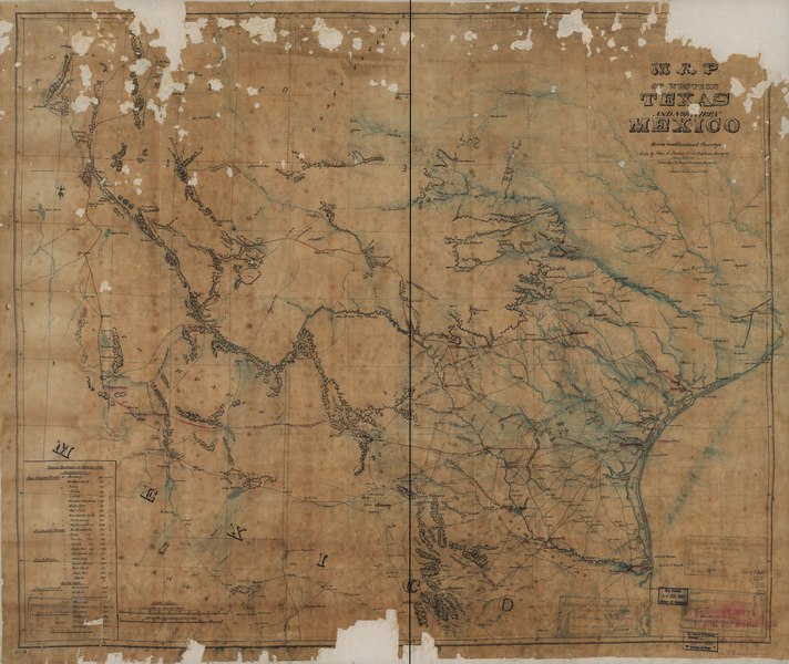
| Description |
English: Relief shown by hachures. Black, green, and red inks. Imperfect: Portions of map missing from top and bottom. Includes table of distances in miles. Available also through the Library of Congress Web site as a raster image. |
||
| Title | Map of western Texas and northern Mexico from authentical surveys | ||
| Shelf ID | G4030 1868 .B5 | ||
| Date | |||
| Source | https://www.loc.gov/item/2001622052/ | ||
| Author | Blucher, Felix A.; Baltischweiler, F. G. | ||
| Permission (Reusing this file) |
|
||
| Other versions |
|
||
| Location | United States · Texas · Mexico | ||
| Part of | American Memory · General Maps · Catalog · Geography And Map Division | ||
| Subject | United States · Maps, Manuscript · Texas · Mexico |


Licensing
[edit]|
This is a faithful photographic reproduction of a two-dimensional, public domain work of art. The work of art itself is in the public domain for the following reason:
The official position taken by the Wikimedia Foundation is that "faithful reproductions of two-dimensional public domain works of art are public domain".
This photographic reproduction is therefore also considered to be in the public domain in the United States. In other jurisdictions, re-use of this content may be restricted; see Reuse of PD-Art photographs for details. | ||||
File history
Click on a date/time to view the file as it appeared at that time.
| Date/Time | Thumbnail | Dimensions | User | Comment | |
|---|---|---|---|---|---|
| current | 00:55, 10 May 2018 |  | 10,072 × 8,479 (244.33 MB) | Fæ (talk | contribs) | LOC Maps https://www.loc.gov/item/2001622052/ #186 |
You cannot overwrite this file.
File usage on Commons
The following page uses this file: