File:Map of the city of Boston and vicinity LOC 80695176.jpg
Jump to navigation
Jump to search

Size of this preview: 519 × 599 pixels. Other resolutions: 208 × 240 pixels | 416 × 480 pixels | 665 × 768 pixels | 887 × 1,024 pixels | 1,774 × 2,048 pixels | 8,771 × 10,126 pixels.
Original file (8,771 × 10,126 pixels, file size: 15.86 MB, MIME type: image/jpeg)
Captions
Captions
Add a one-line explanation of what this file represents
Summary
[edit]| Warning | The original file is very high-resolution. It might not load properly or could cause your browser to freeze when opened at full size. |
|---|
| Description |
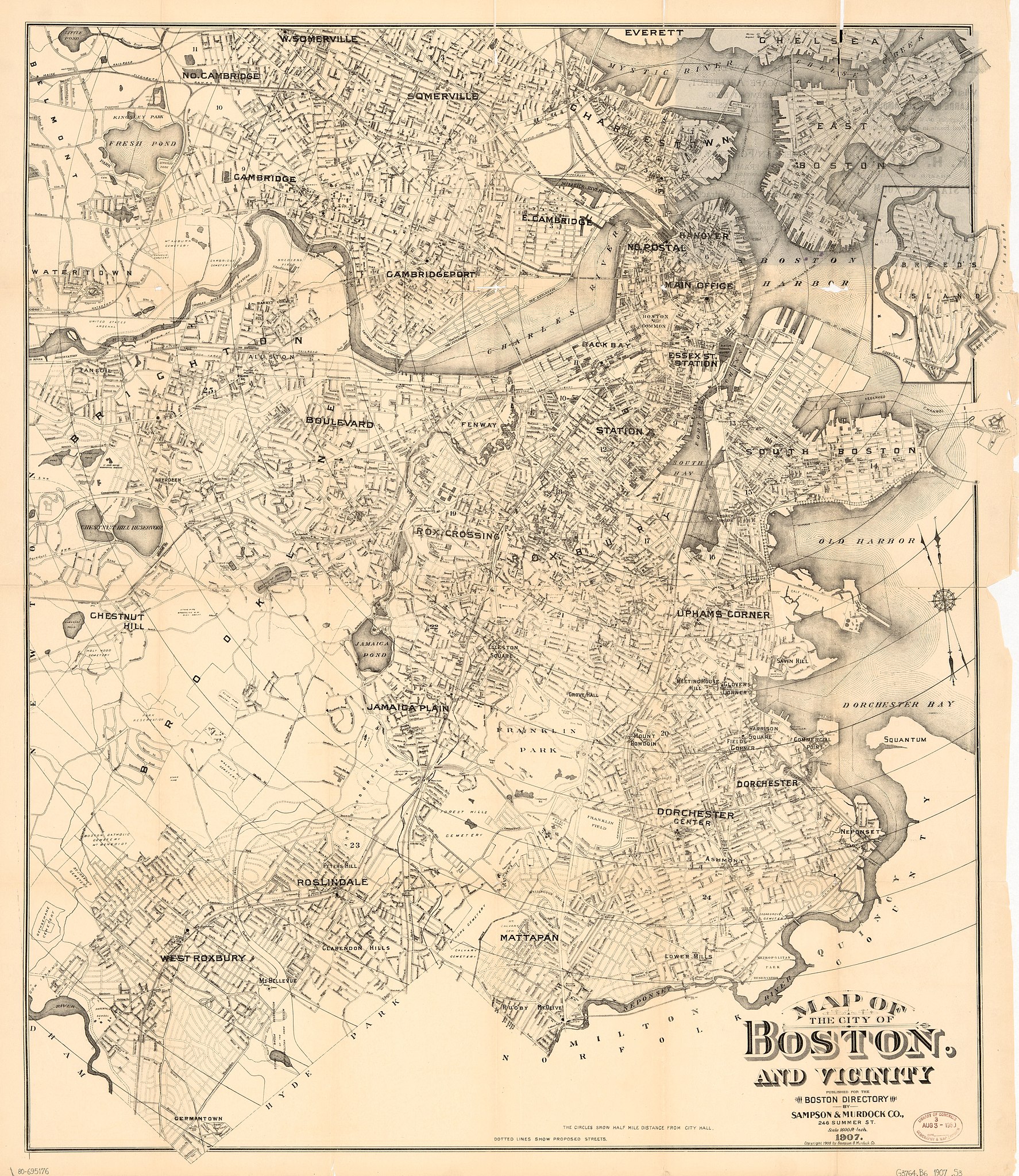
English: Scale 1:19,200; 1,600 ft.-in. "The circles show half mile distance from City Hall." Includes inset of Breed's Island. Available also through the Library of Congress Web site as a raster image. AACR2 |
||
| Title | Map of the city of Boston and vicinity | ||
| Shelf ID | G3764.B6 1907 .S3 | ||
| Date | |||
| Source | https://www.loc.gov/item/80695176/ | ||
| Author | Sampson, Murdock & Co. | ||
| Permission (Reusing this file) |
|
||
| Other versions |
|
||
| Location | United States · Boston · Boston Metropolitan Area · Massachusetts | ||
| Part of | American Memory · Cities And Towns · Catalog · Geography And Map Division | ||
| Subject | Boston · Boston Metropolitan Area · United States · Maps · Boston (Mass.) · Massachusetts · Boston Metropolitan Area (Mass.) |


Licensing
[edit]
|
This is a faithful photographic reproduction of a two-dimensional, public domain work of art. The work of art itself is in the public domain for the following reason:
The official position taken by the Wikimedia Foundation is that "faithful reproductions of two-dimensional public domain works of art are public domain".
This photographic reproduction is therefore also considered to be in the public domain in the United States. In other jurisdictions, re-use of this content may be restricted; see Reuse of PD-Art photographs for details. | ||||
File history
Click on a date/time to view the file as it appeared at that time.
| Date/Time | Thumbnail | Dimensions | User | Comment | |
|---|---|---|---|---|---|
| current | 09:20, 26 May 2018 | | 8,771 × 10,126 (15.86 MB) | Fæ (talk | contribs) | LOC Maps https://www.loc.gov/item/80695176/ #1707 |
You cannot overwrite this file.
File usage on Commons
The following page uses this file: