File:Map of the Great Kennesaw Route via Washington, Roanoke and, Knoxville. LOC 98688673.tif
Jump to navigation
Jump to search

Size of this JPG preview of this TIF file: 800 × 423 pixels. Other resolutions: 320 × 169 pixels | 640 × 338 pixels | 1,024 × 542 pixels | 1,280 × 677 pixels | 2,560 × 1,354 pixels | 10,139 × 5,362 pixels.
Original file (10,139 × 5,362 pixels, file size: 155.54 MB, MIME type: image/tiff)
Captions
Captions
Add a one-line explanation of what this file represents
Summary
[edit]| Description |
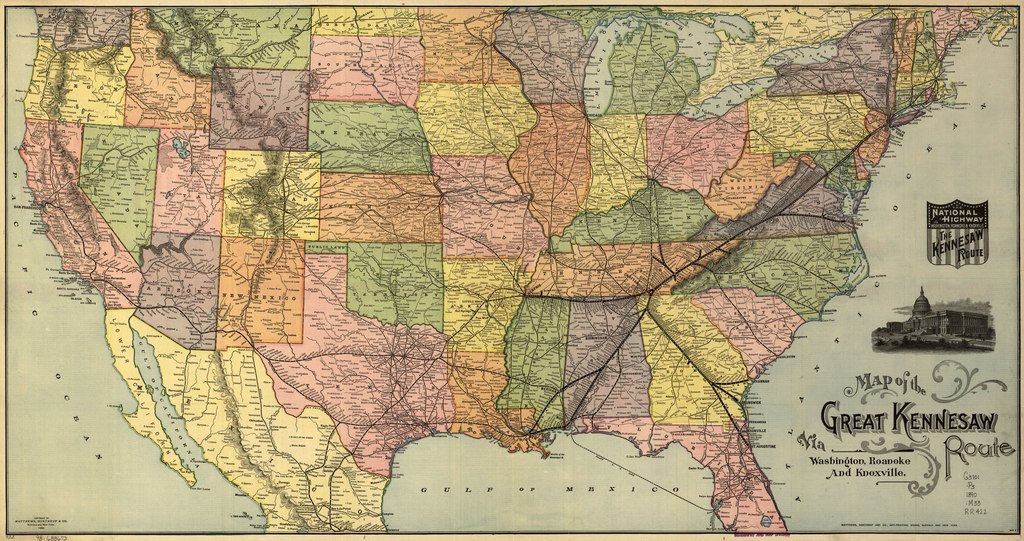
English: Map of the United States showing relief by hachures, drainage, cities and towns, state boundaries, and the railroad network with the named lines. Heavy black lines emphasize the main line. See entry 614. |
||
| Title | Map of the Great Kennesaw Route via Washington, Roanoke and, Knoxville. | ||
| Shelf ID | G3701.P3 1890 .M33 | ||
| Date | |||
| Source | https://www.loc.gov/item/98688673/ | ||
| Author | Matthews-Northrup Company; Great Kennesaw Route | ||
| Permission (Reusing this file) |
|
||
| Other versions |
|
||
| Location | United States | ||
| Part of | American Memory · Catalog · Railroad Maps, 1828-1900 · Geography And Map Division · Transportation And Communication | ||
| Subject | United States · Maps · Great Kennesaw Route · Railroads |


Licensing
[edit]|
This is a faithful photographic reproduction of a two-dimensional, public domain work of art. The work of art itself is in the public domain for the following reason:
The official position taken by the Wikimedia Foundation is that "faithful reproductions of two-dimensional public domain works of art are public domain".
This photographic reproduction is therefore also considered to be in the public domain in the United States. In other jurisdictions, re-use of this content may be restricted; see Reuse of PD-Art photographs for details. | ||||
File history
Click on a date/time to view the file as it appeared at that time.
| Date/Time | Thumbnail | Dimensions | User | Comment | |
|---|---|---|---|---|---|
| current | 15:23, 25 June 2018 |  | 10,139 × 5,362 (155.54 MB) | Fæ (talk | contribs) | LOC Maps https://www.loc.gov/item/98688673/ #28143 |
You cannot overwrite this file.
File usage on Commons
The following page uses this file: