File:Map of cities in Washington (state).svg
Jump to navigation
Jump to search

Size of this PNG preview of this SVG file: 800 × 557 pixels. Other resolutions: 320 × 223 pixels | 640 × 446 pixels | 1,024 × 713 pixels | 1,280 × 892 pixels | 2,560 × 1,783 pixels | 837 × 583 pixels.
Original file (SVG file, nominally 837 × 583 pixels, file size: 2.74 MB)
Captions
Captions
Add a one-line explanation of what this file represents
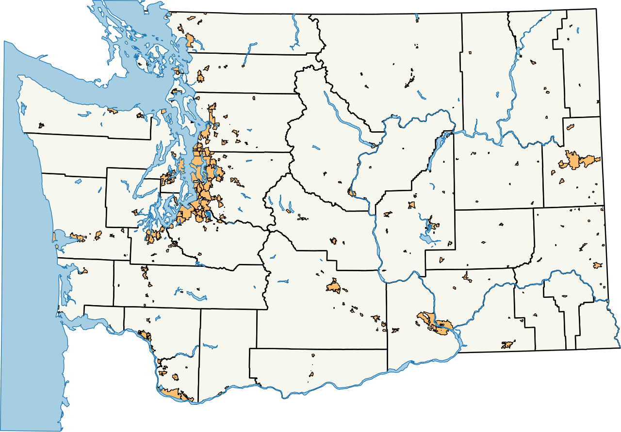
| Description | A map of cities and towns in the U.S. state of Washington. |
| Date | |
| Source |
Own work Created using data collected from the Washington State Department of Transportation. |
| Author | SounderBruce |
| Permission (Reusing this file) |
This file is licensed under the Creative Commons Attribution-Share Alike 3.0 Unported license.
|
| SVG development |
File history
Click on a date/time to view the file as it appeared at that time.
| Date/Time | Thumbnail | Dimensions | User | Comment | |
|---|---|---|---|---|---|
| current | 01:26, 30 October 2016 | | 837 × 583 (2.74 MB) | SounderBruce (talk | contribs) | {{Information |Description=A map of cities and towns in the U.S. state of w:Washington (state). |Source={{own}}<br />Created using data collected from the [http://www.wsdot.wa.gov/mapsdata/geodatacatalog/default.htm Washington State Department of... |
You cannot overwrite this file.
File usage on Commons
There are no pages that use this file.
.svg&oldid=708985408)