File:Map of Tenabo.svg
Jump to navigation
Jump to search

Size of this PNG preview of this SVG file: 800 × 544 pixels. Other resolutions: 320 × 218 pixels | 640 × 435 pixels | 1,024 × 696 pixels | 1,280 × 870 pixels | 2,560 × 1,741 pixels | 1,000 × 680 pixels.
Original file (SVG file, nominally 1,000 × 680 pixels, file size: 121 KB)
Captions
Captions
Add a one-line explanation of what this file represents
Summary
[edit]
This W3C-unspecified vector image was created with Inkscape .
| Description |
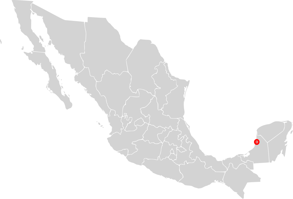
English: Map of Tenabo, Campeche in a Mexico map.
Español: Mapa de Tenabo, Campeche, en un mapa de México. |
| Date | |
| Source | Own work |
| Author | El Ágora |
Licensing
[edit]
| I, the copyright holder of this work, release this work into the public domain. This applies worldwide. In some countries this may not be legally possible; if so: I grant anyone the right to use this work for any purpose, without any conditions, unless such conditions are required by law. |
File history
Click on a date/time to view the file as it appeared at that time.
| Date/Time | Thumbnail | Dimensions | User | Comment | |
|---|---|---|---|---|---|
| current | 00:46, 11 February 2008 | | 1,000 × 680 (121 KB) | El Ágora (talk | contribs) | {{Created with Inkscape}} {{Information |Description={{en|Map of Tenabo, Campeche in a Mexico map.}} {{es|Mapa de Tenabo, Campeche, en un mapa de México.}} |Source=self-made |Date=February 10, 2008 |Author= El Ágora |Permission=Yes |o |
You cannot overwrite this file.
File usage on Commons
There are no pages that use this file.