File:Map of Roselle, N.J. - from actual surveys LOC 2012590178.jpg
Jump to navigation
Jump to search

Size of this preview: 442 × 599 pixels. Other resolutions: 177 × 240 pixels | 354 × 480 pixels | 566 × 768 pixels | 755 × 1,024 pixels | 1,510 × 2,048 pixels | 10,004 × 13,568 pixels.
Original file (10,004 × 13,568 pixels, file size: 13.16 MB, MIME type: image/jpeg)
Captions
Captions
Add a one-line explanation of what this file represents
Summary
[edit]| Warning | The original file is very high-resolution. It might not load properly or could cause your browser to freeze when opened at full size. |
|---|
| Description |
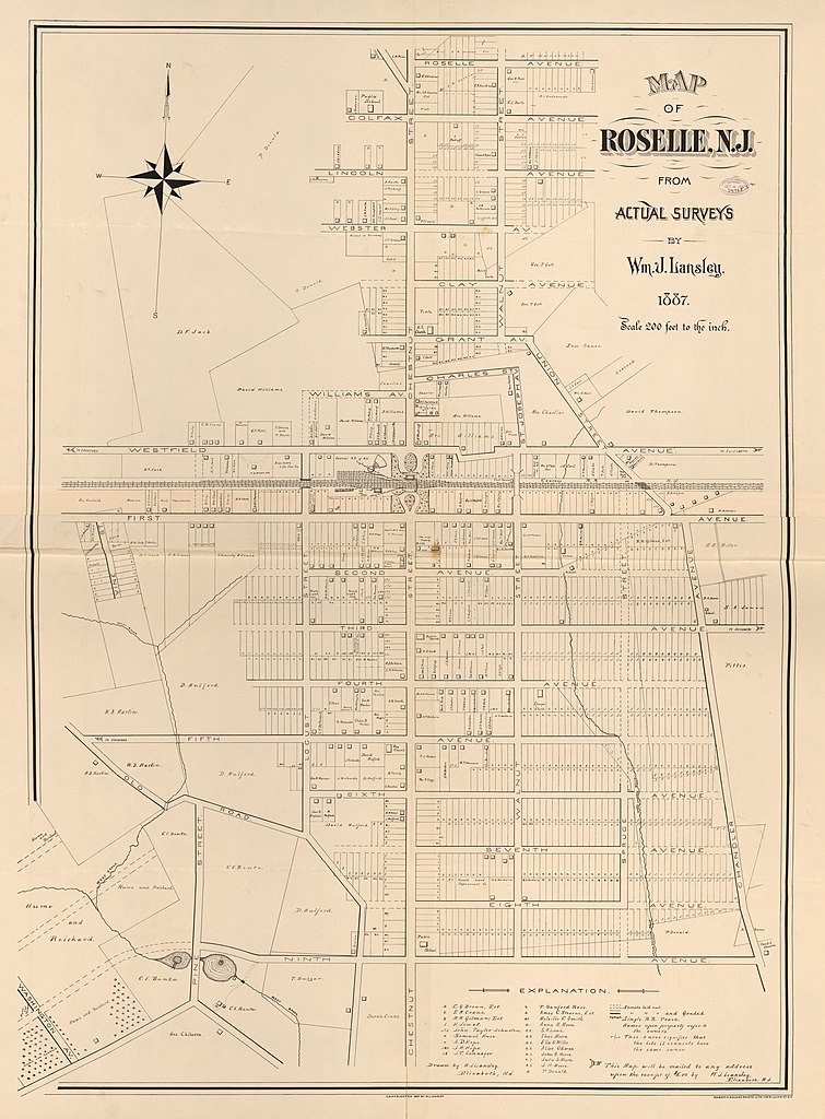
English: Cadastral map showing lot lines, lot numbers, landowners' names, and buildings. Originally printed on 2 sheets (now conjoined). "Copyrighted 1887 by W.J. Lansley." LC copy imperfect: Fold-lined, torn at fold lines, stained at central fold-line crossing. Available also through the Library of Congress Web site as a raster image. Includes note and key to abbreviations of landowners' names. |
||
| Title | Map of Roselle, N.J. : from actual surveys | ||
| Shelf ID | G3814.R7G46 1887 .L3 | ||
| Date | |||
| Source | https://www.loc.gov/item/2012590178/ | ||
| Author | Lansley, Wm. J. (William J.); Welcke, Robert A.; Lansley, Wm. J. | ||
| Permission (Reusing this file) |
|
||
| Other versions |
|
||
| Location | New Jersey · United States · Roselle | ||
| Part of | American Memory · Catalog · County Landownership Maps · Geography And Map Division · Cultural Landscapes | ||
| Subject | Cadastral Maps · Buildings, Structures, Etc · Roselle · New Jersey · Roselle (N.J.) · United States · Maps · Real Property · Landowners |


Licensing
[edit]
|
This is a faithful photographic reproduction of a two-dimensional, public domain work of art. The work of art itself is in the public domain for the following reason:
The official position taken by the Wikimedia Foundation is that "faithful reproductions of two-dimensional public domain works of art are public domain".
This photographic reproduction is therefore also considered to be in the public domain in the United States. In other jurisdictions, re-use of this content may be restricted; see Reuse of PD-Art photographs for details. | ||||
File history
Click on a date/time to view the file as it appeared at that time.
| Date/Time | Thumbnail | Dimensions | User | Comment | |
|---|---|---|---|---|---|
| current | 13:49, 3 June 2018 | | 10,004 × 13,568 (13.16 MB) | Fæ (talk | contribs) | LOC Maps https://www.loc.gov/item/2012590178/ #3430 |
You cannot overwrite this file.
File usage on Commons
The following page uses this file: