File:Map of New York highlighting Lewis County.svg
Jump to navigation
Jump to search

Size of this PNG preview of this SVG file: 787 × 600 pixels. Other resolutions: 315 × 240 pixels | 630 × 480 pixels | 1,008 × 768 pixels | 1,280 × 975 pixels | 2,560 × 1,950 pixels | 1,100 × 838 pixels.
Original file (SVG file, nominally 1,100 × 838 pixels, file size: 66 KB)
Captions
Captions
Add a one-line explanation of what this file represents
Summary
[edit]
| Description |
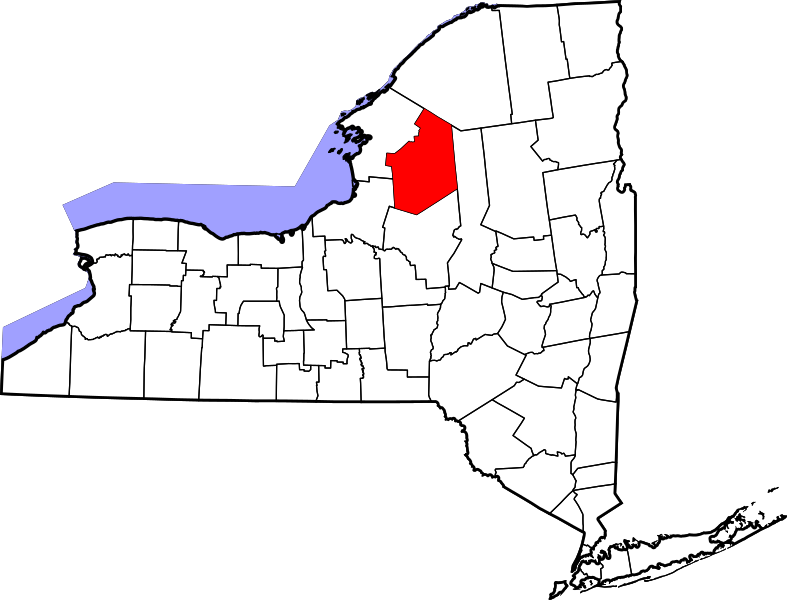
English: This is a locator map showing Lewis County in New York. For more information, see Commons:United States county locator maps. |
| Date | |
| Source |
Own work: English: The maps use data from nationalatlas.gov, specifically countyp020.tar.gz on the Raw Data Download page. The maps also use state outline data from statesp020.tar.gz. The Florida maps use hydrogm020.tar.gz to display Lake Okeechobee. |
| Author | David Benbennick |
Licensing
[edit]
| I, the copyright holder of this work, release this work into the public domain. This applies worldwide. In some countries this may not be legally possible; if so: I grant anyone the right to use this work for any purpose, without any conditions, unless such conditions are required by law. |
File history
Click on a date/time to view the file as it appeared at that time.
| Date/Time | Thumbnail | Dimensions | User | Comment | |
|---|---|---|---|---|---|
| current | 15:22, 25 June 2024 | | 1,100 × 838 (66 KB) | Nux (talk | contribs) | uniform colors with good contrast |
| 20:26, 16 June 2024 |  | 1,650 × 1,257 (66 KB) | Nux (talk | contribs) | fix rendering (remove clipping) | |
| 15:32, 12 February 2006 |  | 6,599 × 5,030 (112 KB) | David Benbennick (talk | contribs) | {{subst:User:Dbenbenn/clm|county=Lewis County|state=New York|type=county}} |
You cannot overwrite this file.
File usage on Commons
The following 6 pages use this file:
File usage on other wikis
The following other wikis use this file:
- Usage on ar.wikipedia.org
- مقاطعة لويس (نيويورك)
- كاستورلاند (نيويورك)
- كونستيبلفيل (نيويورك)
- كوبنهاغن (نيويورك)
- هاريسفيل (نيويورك)
- ليونس فالس (نيويورك)
- بورت ليدن (نيويورك)
- قرية تورين (نيويورك)
- قرية لوفيل (نيويورك)
- قرية كروغان (نيويورك)
- كورغان (نيويورك)
- دنمارك (نيويورك)
- ديانا (نيويورك)
- غريغ (نيويورك)
- هاريسبورغ (نيويورك)
- ليوس (نيويورك)
- ليدين (نيويورك)
- لوفيل (نيويورك)
- لايونزديل (نيويورك)
- مارتينسبورغ (نيويورك)
- مونتاغو (نيويورك)
- نيو بريمن (نيويورك)
- أوسيولا (نيويورك)
- بينكني (نيويورك)
- قالب:مقاطعة لويس (نيويورك)
- Usage on arz.wikipedia.org
- Usage on bg.wikipedia.org
- Usage on bpy.wikipedia.org
- Usage on ca.wikipedia.org
- Usage on cdo.wikipedia.org
- Usage on ceb.wikipedia.org
- Usage on ce.wikipedia.org
- Usage on cs.wikipedia.org
- Usage on cy.wikipedia.org
- Usage on de.wikipedia.org
- Usage on en.wikipedia.org
View more global usage of this file.