File:Map of Kano-1826.jpg
Jump to navigation
Jump to search
No higher resolution available.
Map_of_Kano-1826.jpg (760 × 492 pixels, file size: 65 KB, MIME type: image/jpeg)
Captions
Captions
Add a one-line explanation of what this file represents
Summary
[edit]
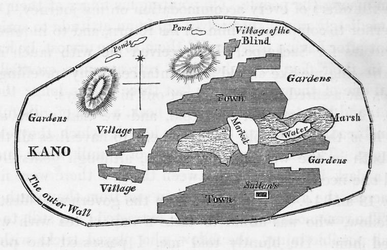
| Description |
English: "Map of the city of Kano" |
||
| Date | |||
| Source | From Narrative of travels and discoveries in Northern and Central Africa, in the years 1822, 1823, and 1824. Vol I & II. - New York Public Library [1] | ||
| Author | Denham, Dixon, 1786-1828 | ||
| Permission (Reusing this file) |
|
Licensing
[edit]
|
This work is in the public domain in its country of origin and other countries and areas where the copyright term is the author's life plus 70 years or fewer. | |
| This file has been identified as being free of known restrictions under copyright law, including all related and neighboring rights. | |
File history
Click on a date/time to view the file as it appeared at that time.
| Date/Time | Thumbnail | Dimensions | User | Comment | |
|---|---|---|---|---|---|
| current | 10:27, 14 March 2010 | | 760 × 492 (65 KB) | Ji-Elle (talk | contribs) | == {{int:filedesc}} == {{Information |Description={{en|1="Map of the city of Kano"}} |Source=From ''Narrative of travels and discoveries in Northern and Central Africa, in the years 1822, 1823, and 1824. Vol I & II.'' - New York Public Library [http://dig |
You cannot overwrite this file.
File usage on Commons
There are no pages that use this file.