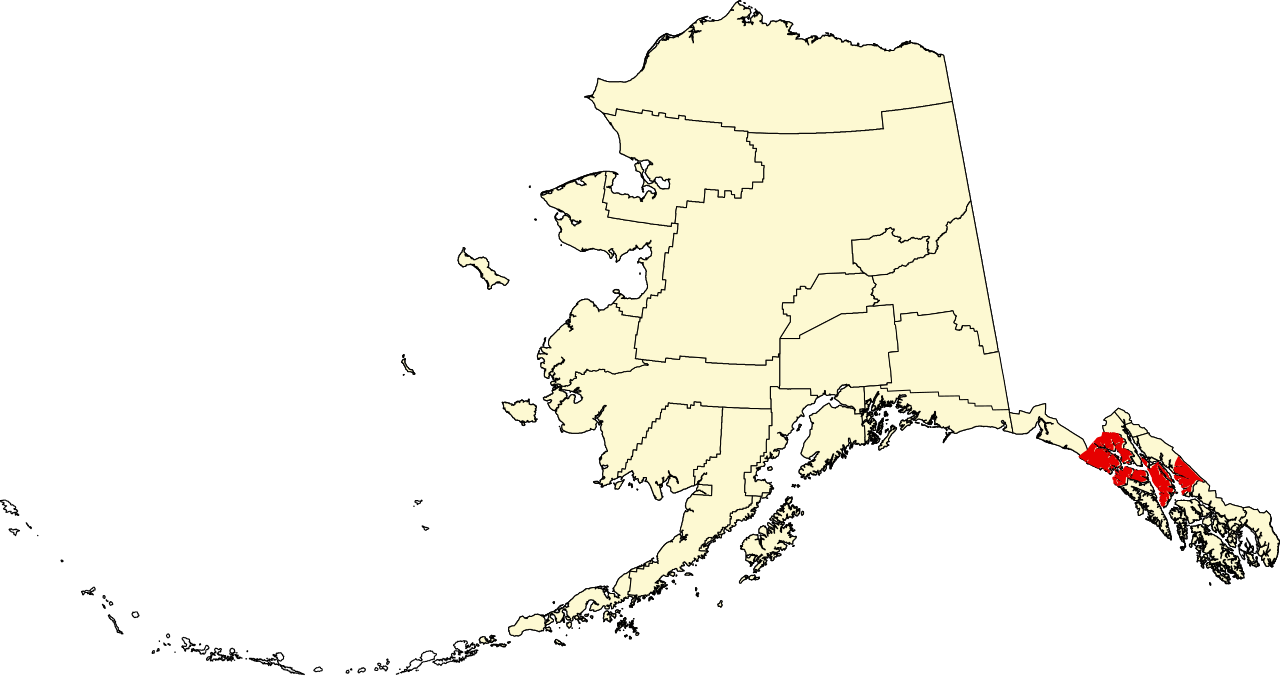
File:Map of Alaska highlighting Hoonah-Angoon Census Area.svg
Jump to navigation
Jump to search

Size of this PNG preview of this SVG file: 800 × 423 pixels. Other resolutions: 320 × 169 pixels | 640 × 338 pixels | 1,024 × 541 pixels | 1,280 × 677 pixels | 2,560 × 1,353 pixels | 1,470 × 777 pixels.
Original file (SVG file, nominally 1,470 × 777 pixels, file size: 644 KB)
Captions
Captions
Add a one-line explanation of what this file represents
| Description | |||
| Date | |||
| Source | Own work | ||
| Author | Dtbohrer | ||
| Permission (Reusing this file) |
|
||
| Other versions |
 |
||
| SVG development |
File history
Click on a date/time to view the file as it appeared at that time.
| Date/Time | Thumbnail | Dimensions | User | Comment | |
|---|---|---|---|---|---|
| current | 20:12, 25 June 2024 | | 1,470 × 777 (644 KB) | Nux (talk | contribs) | uniform colors with good contrast |
| 23:04, 25 January 2009 |  | 1,470 × 777 (584 KB) | Niagara (talk | contribs) | == Summary == {{Information |Description={{en|1=Map of Alaska highlighting the Hoonah-Angoon Census Area}} |Source=self made |Author=Dtbohrer |Date=January 25, 2009 |Permission= |other |
You cannot overwrite this file.
File usage on Commons
The following page uses this file:
File usage on other wikis
The following other wikis use this file:
- Usage on ca.wikipedia.org
- Alakanuk
- Angoon
- Chevak
- Coffman Cove
- Craig (Alaska)
- Cube Cove
- Elfin Cove
- Emmonak
- Game Creek
- Gustavus
- Hoonah
- Hooper Bay
- Kake
- Klawock
- Klukwan
- Kotlik
- Metlakatla
- Naukati Bay
- Nunam Iqua
- Pelican
- Pilot Station
- Port Alexander
- Russian Mission
- Scammon Bay
- St. Mary's (Alaska)
- Tenakee Springs
- Whitestone Logging Camp
- Illa Annette
- Llista de boroughs i àrees censals d'Alaska
- Plantilla:Àrea censal de Hoonah-Angoon
- Categoria:Àrea censal de Hoonah-Angoon
- Plantilla:Àrea censal de Kusilvak
- Categoria:Àrea censal de Kusilvak
- Plantilla:Àrea censal de Prince of Wales-Hyder
- Categoria:Àrea censal de Prince of Wales-Hyder
- Usage on de.wikipedia.org
- Usage on en.wikipedia.org
View more global usage of this file.