File:Map Transsib Railway 1897.png
Jump to navigation
Jump to search
Size of this preview: 800 × 401 pixels. Other resolutions: 320 × 160 pixels | 640 × 320 pixels | 1,024 × 513 pixels | 1,280 × 641 pixels | 2,223 × 1,113 pixels.
Original file (2,223 × 1,113 pixels, file size: 717 KB, MIME type: image/png)
Captions
Captions
Add a one-line explanation of what this file represents
Summary
[edit]
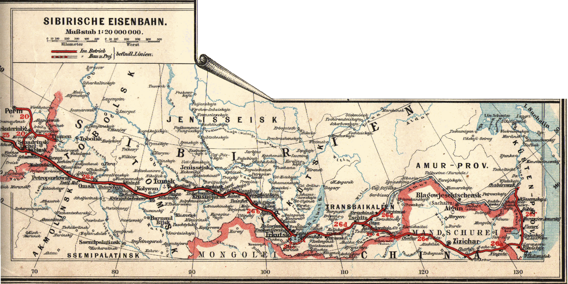
| Description | Historical map of the Transsiberian Railway |
| Date | |
| Source | Eisenbahn- und Verkehrsatlas von Europa |
| Author | Der geographischen Anstalt von J.J. Arnd in Leipzig |
| Permission (Reusing this file) |
PD - the company does not exist any more |
| Other versions |
Licensing
[edit]
|
This work is in the public domain in its country of origin and other countries and areas where the copyright term is the author's life plus 70 years or fewer. | |
| This file has been identified as being free of known restrictions under copyright law, including all related and neighboring rights. | |
File history
Click on a date/time to view the file as it appeared at that time.
| Date/Time | Thumbnail | Dimensions | User | Comment | |
|---|---|---|---|---|---|
| current | 18:31, 22 February 2007 | | 2,223 × 1,113 (717 KB) | BjørnN (talk | contribs) | |
| 17:50, 22 February 2007 |  | 2,340 × 1,652 (727 KB) | BjørnN (talk | contribs) | {{Information |Description=Historical map of the Transsiberian Railway |Source=Eisenbahn- und Verkehrsatlas von Europa |Date=1897 |Author=Der geographischen Anstalt von J.J. Arnd in Leipzig |Permission=PD - the company does not exist any more |other_versi |
You cannot overwrite this file.
File usage on Commons
The following 2 pages use this file:
File usage on other wikis
The following other wikis use this file:
- Usage on de.wikipedia.org
- Usage on fi.wikipedia.org
- Usage on ja.wikipedia.org
- Usage on nds.wikipedia.org
- Usage on nl.wikipedia.org
- Usage on no.wikipedia.org