File:Locator map of Mykolaiv province.svg
Jump to navigation
Jump to search

Size of this PNG preview of this SVG file: 800 × 531 pixels. Other resolutions: 320 × 212 pixels | 640 × 425 pixels | 1,024 × 680 pixels | 1,280 × 850 pixels | 2,560 × 1,700 pixels | 887 × 589 pixels.
Original file (SVG file, nominally 887 × 589 pixels, file size: 545 KB)
Captions
Captions
Add a one-line explanation of what this file represents
Summary
[edit]
| Description |
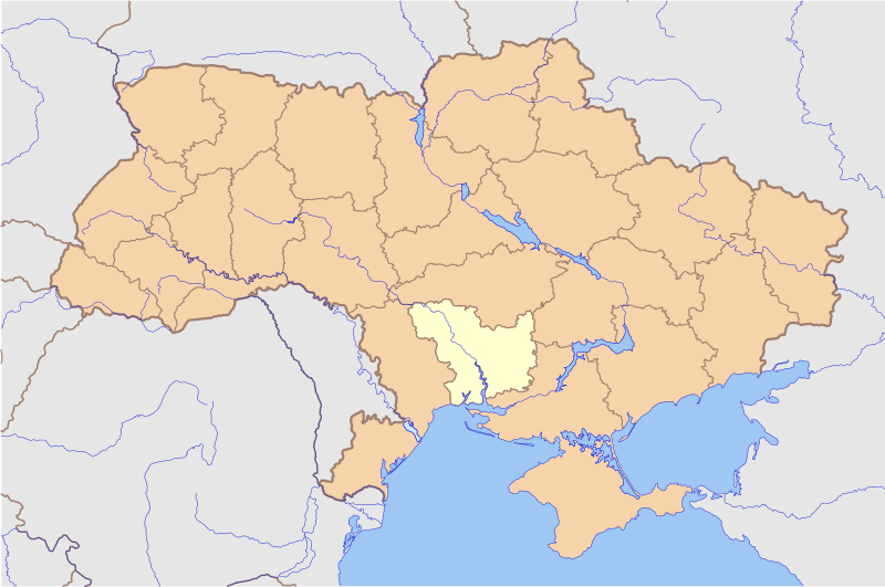
English: Made with Generic Mapping Tools using Natural Earth Data
Русский: Карта создана с использованием данных Natural Earth
Українська: Мапа створена з використанням даних Natural Earth |
| Date | |
| Source | Own work |
| Author | Urutseg |
Licensing
[edit]
| I, the copyright holder of this work, release this work into the public domain. This applies worldwide. In some countries this may not be legally possible; if so: I grant anyone the right to use this work for any purpose, without any conditions, unless such conditions are required by law. |
File history
Click on a date/time to view the file as it appeared at that time.
| Date/Time | Thumbnail | Dimensions | User | Comment | |
|---|---|---|---|---|---|
| current | 21:50, 4 May 2014 | | 887 × 589 (545 KB) | Musp (talk | contribs) | Reverted to version as of 17:29, 29 November 2010 |
| 00:03, 4 May 2014 |  | 887 × 589 (552 KB) | Knyaz-1988 (talk | contribs) | New version | |
| 17:29, 29 November 2010 |  | 887 × 589 (545 KB) | Urutseg (talk | contribs) |
You cannot overwrite this file.
File usage on Commons
The following page uses this file:
File usage on other wikis
The following other wikis use this file:
- Usage on en.wikipedia.org
- Usage on eu.wikipedia.org
- Usage on hr.wikipedia.org
- Usage on ja.wikipedia.org
- Usage on sco.wikipedia.org
- Usage on th.wikipedia.org
- Usage on tr.wikipedia.org
- Usage on vi.wikipedia.org
- Usage on zh.wikipedia.org