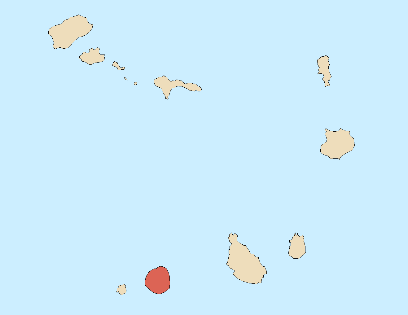
File:Locator map of Fogo, Cape Verde.png
Jump to navigation
Jump to search
Size of this preview: 776 × 599 pixels. Other resolutions: 311 × 240 pixels | 622 × 480 pixels | 995 × 768 pixels | 1,317 × 1,017 pixels.
Original file (1,317 × 1,017 pixels, file size: 29 KB, MIME type: image/png)
Captions
Captions
Add a one-line explanation of what this file represents
Summary
[edit]
| Description | |
| Date | 7 January 2007 (original upload date) |
| Source | No machine-readable source provided. Own work assumed (based on copyright claims). |
| Author | No machine-readable author provided. Waldir assumed (based on copyright claims). |
Licensing
[edit]
I, the copyright holder of this work, hereby publish it under the following licenses:

|
Permission is granted to copy, distribute and/or modify this document under the terms of the GNU Free Documentation License, Version 1.2 or any later version published by the Free Software Foundation; with no Invariant Sections, no Front-Cover Texts, and no Back-Cover Texts. A copy of the license is included in the section entitled GNU Free Documentation License. |
| This file is licensed under the Creative Commons Attribution-Share Alike 3.0 Unported license. | ||
| ||
| This licensing tag was added to this file as part of the GFDL licensing update. |
This file is licensed under the Creative Commons Attribution-Share Alike 2.5 Generic, 2.0 Generic and 1.0 Generic license.
- You are free:
- to share – to copy, distribute and transmit the work
- to remix – to adapt the work
- Under the following conditions:
- attribution – You must give appropriate credit, provide a link to the license, and indicate if changes were made. You may do so in any reasonable manner, but not in any way that suggests the licensor endorses you or your use.
- share alike – If you remix, transform, or build upon the material, you must distribute your contributions under the same or compatible license as the original.
You may select the license of your choice.
File history
Click on a date/time to view the file as it appeared at that time.
| Date/Time | Thumbnail | Dimensions | User | Comment | |
|---|---|---|---|---|---|
| current | 15:09, 11 January 2007 | | 1,317 × 1,017 (29 KB) | Waldyrious (talk | contribs) | |
| 23:52, 10 January 2007 |  | 1,317 × 1,017 (29 KB) | Waldyrious (talk | contribs) | ||
| 04:52, 7 January 2007 |  | 1,317 × 1,017 (29 KB) | Waldyrious (talk | contribs) | Category:Locator map of Cape Verde islands | |
| 04:40, 7 January 2007 |  | 1,317 × 1,017 (29 KB) | Waldyrious (talk | contribs) | Category:Locator map of Cape Verde islands |
You cannot overwrite this file.
File usage on Commons
The following 4 pages use this file:
File usage on other wikis
The following other wikis use this file:
- Usage on arz.wikipedia.org
- Usage on br.wikipedia.org
- Usage on ca.wikipedia.org
- Usage on da.wikipedia.org
- Usage on el.wikipedia.org
- Usage on en.wikipedia.org
- Fogo, Cape Verde
- Chã das Caldeiras
- São Filipe, Cape Verde (municipality)
- Pico do Fogo
- São Filipe, Cape Verde
- Mosteiros, Cape Verde (municipality)
- Santa Catarina do Fogo, Cape Verde
- Achada Furna
- Achada Grande, Mosteiros
- São Filipe Airport
- Cova Figueira
- Template:Fogo
- Lomba, Cape Verde
- Lagariça
- Atalaia, Cape Verde
- Figueira Pavão
- Patim
- São Jorge, Cape Verde
- Santo António (Fogo)
- Monte Grande (Fogo)
- Fonte Aleixo
- Ribeira do Ilhéu
- Salto, Cape Verde
- Estância Roque
- Vicente Dias
- Fajãzinha, Cape Verde
- Curral Grande
- Galinheiro
- Cabeça Fundão
- Campanas Baixo
- Miguel Gonçalves
- Ponta Verde, Cape Verde
- Relva, Cape Verde
- Nossa Senhora da Conceição (São Filipe)
- São Lourenço (São Filipe)
- Corvo, Cape Verde
- Mosteiros, Cape Verde
- Fogo Natural Park
- Feijoal, Fogo
- Museu Municipal de São Filipe
- Monte Velha
- As Hortas
- Monte Largo
- Tinteira
- 2014–15 Fogo eruption
View more global usage of this file.