File:Location map Irkutsk.png
Jump to navigation
Jump to search
No higher resolution available.
Location_map_Irkutsk.png (500 × 500 pixels, file size: 36 KB, MIME type: image/png)
Captions
Captions
Add a one-line explanation of what this file represents
| Description |
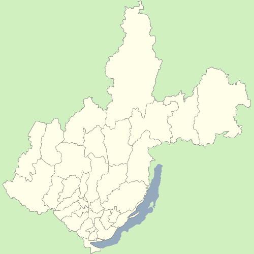
Русский: Карта Иркутской области и Усть-Ордынского Бурятского автономного округа, Российская Федерация. |
||
| Date | (UTC) | ||
| Source | |||
| Author | Ahnode | ||
| Permission (Reusing this file) |
|

|
File:Map Russia Irkutsk oblast and Ust-Orda Buryatia.svg is a vector version of this file. It should be used in place of this PNG file when not inferior.
File:Location map Irkutsk.png → File:Map Russia Irkutsk oblast and Ust-Orda Buryatia.svg
For more information, see Help:SVG. |
 |
File history
Click on a date/time to view the file as it appeared at that time.
| Date/Time | Thumbnail | Dimensions | User | Comment | |
|---|---|---|---|---|---|
| current | 09:27, 25 July 2009 | | 500 × 500 (36 KB) | Dr. Blofeld~commonswiki (talk | contribs) | {{Information |Description={{en|1=g}} |Source=g |Author=g |Date=g |Permission= |other_versions= }} |
You cannot overwrite this file.
File usage on Commons
There are no pages that use this file.