File:Little Country Vrangel 2003.jpg
Jump to navigation
Jump to search

Size of this preview: 800 × 274 pixels. Other resolutions: 320 × 110 pixels | 640 × 219 pixels | 1,024 × 351 pixels | 1,280 × 439 pixels | 3,500 × 1,200 pixels.
Original file (3,500 × 1,200 pixels, file size: 1.2 MB, MIME type: image/jpeg)
Captions
Captions
A piece of southern Primorye
Summary
[edit]
| Description |
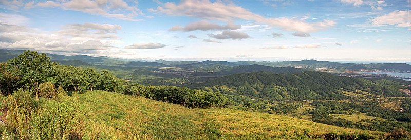
English: Panoramic view from Mount Arsenia: from Vrangel Cove (on the right) to Krakovka Cove (Cape Sysoev is visible just above and to the left of Khmylovka, located in the center of the frame)
Русский: Панорамный вид с горы Арсения: от бухты Врангеля (справа) до бухты Краковки (мыс Сысоева виден чуть выше и левее Хмыловки, находящейся в центре кадра) |
| Date | |
| Source | Own work |
| Author | Vrangel Bay (aka Alex Wild) |
| Camera location | | View this and other nearby images on: OpenStreetMap |
|---|
Современный вид (съемка с квадрокоптера): https://yandex.ru/maps/-/CCUzqOTeOD
Licensing
[edit]
I, the copyright holder of this work, hereby publish it under the following license:
This file is licensed under the Creative Commons Attribution-Share Alike 4.0 International license.
- You are free:
- to share – to copy, distribute and transmit the work
- to remix – to adapt the work
- Under the following conditions:
- attribution – You must give appropriate credit, provide a link to the license, and indicate if changes were made. You may do so in any reasonable manner, but not in any way that suggests the licensor endorses you or your use.
- share alike – If you remix, transform, or build upon the material, you must distribute your contributions under the same or compatible license as the original.
| Annotations | This image is annotated: View the annotations at Commons |
File history
Click on a date/time to view the file as it appeared at that time.
| Date/Time | Thumbnail | Dimensions | User | Comment | |
|---|---|---|---|---|---|
| current | 16:43, 21 January 2023 | 3,500 × 1,200 (1.2 MB) | Vrangel Bay (talk | contribs) | Uploaded own work with UploadWizard |
You cannot overwrite this file.
File usage on Commons
There are no pages that use this file.