File:Leicestershire outline map with UK.png
Jump to navigation
Jump to search
No higher resolution available.
Leicestershire_outline_map_with_UK.png (800 × 558 pixels, file size: 454 KB, MIME type: image/png)
Captions
Captions
Add a one-line explanation of what this file represents
Summary
[edit]
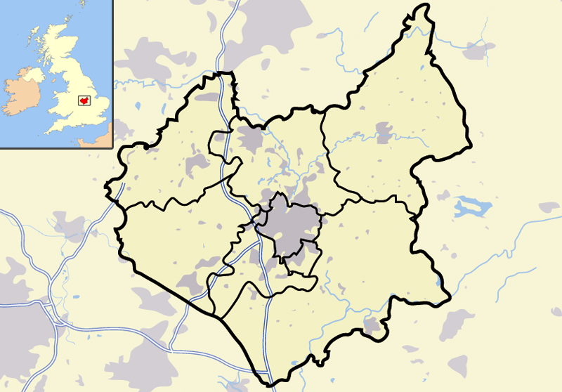
| Description | Map of Leicestershire, England |
| Date | |
| Source | Own work |
| Author | Jhamez84 |
| Other versions |
Derivative works of this file: |
Licensing
[edit]
| This work has been released into the public domain by its author, I, Jhamez84. This applies worldwide. In some countries this may not be legally possible; if so: I, Jhamez84 grants anyone the right to use this work for any purpose, without any conditions, unless such conditions are required by law. |
File history
Click on a date/time to view the file as it appeared at that time.
| Date/Time | Thumbnail | Dimensions | User | Comment | |
|---|---|---|---|---|---|
| current | 13:38, 1 July 2007 | | 800 × 558 (454 KB) | Jza84 (talk | contribs) | {{Information |Description=Map of Leicestershire, England |Source=self-made |Date=1st July 2007 |Author= Jhamez84 }} |
You cannot overwrite this file.
File usage on Commons
The following 2 pages use this file:
File usage on other wikis
The following other wikis use this file:
- Usage on de.wikipedia.org
- Usage on en.wikipedia.org
- Usage on ml.wikipedia.org