File:Le royaume des Francs sous Hugues Capet-ka.svg
Jump to navigation
Jump to search

Size of this PNG preview of this SVG file: 598 × 599 pixels. Other resolutions: 239 × 240 pixels | 479 × 480 pixels | 766 × 768 pixels | 1,022 × 1,024 pixels | 2,043 × 2,048 pixels | 1,796 × 1,800 pixels.
Original file (SVG file, nominally 1,796 × 1,800 pixels, file size: 1.23 MB)
Captions
Captions
Add a one-line explanation of what this file represents
Summary
[edit]
| Description |
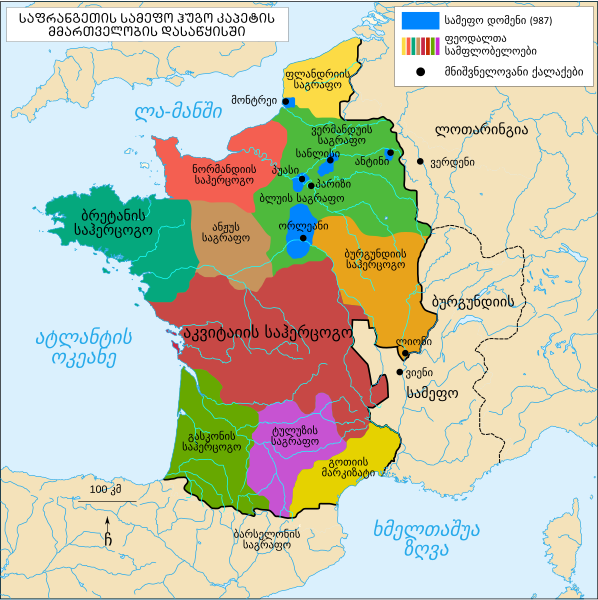
ქართული: საფრანგეთის სამეფო ჰუგო კაპეტის მეფობის დასაწყისში |
| Date | |
| Source | File:Le royaume des Francs sous Hugues Capet-fr.svg |
| Author | Bourrichon (original), გიორგი ოქროპირიძე (translate) |
Licensing
[edit]
I, the copyright holder of this work, hereby publish it under the following licenses:

|
Permission is granted to copy, distribute and/or modify this document under the terms of the GNU Free Documentation License, Version 1.2 or any later version published by the Free Software Foundation; with no Invariant Sections, no Front-Cover Texts, and no Back-Cover Texts. A copy of the license is included in the section entitled GNU Free Documentation License. |
This file is licensed under the Creative Commons Attribution-Share Alike 3.0 Unported, 2.5 Generic, 2.0 Generic and 1.0 Generic license.
- You are free:
- to share – to copy, distribute and transmit the work
- to remix – to adapt the work
- Under the following conditions:
- attribution – You must give appropriate credit, provide a link to the license, and indicate if changes were made. You may do so in any reasonable manner, but not in any way that suggests the licensor endorses you or your use.
- share alike – If you remix, transform, or build upon the material, you must distribute your contributions under the same or compatible license as the original.
You may select the license of your choice.
File history
Click on a date/time to view the file as it appeared at that time.
| Date/Time | Thumbnail | Dimensions | User | Comment | |
|---|---|---|---|---|---|
| current | 17:42, 28 May 2019 | | 1,796 × 1,800 (1.23 MB) | Giorgi Balakhadze (talk | contribs) | fix 2 |
| 09:52, 27 May 2019 |  | 1,796 × 1,800 (1.11 MB) | გიო ოქრო (talk | contribs) | fix | |
| 09:46, 27 May 2019 |  | 1,796 × 1,800 (1.11 MB) | გიო ოქრო (talk | contribs) | User created page with UploadWizard |
You cannot overwrite this file.
File usage on Commons
There are no pages that use this file.
File usage on other wikis
The following other wikis use this file:
- Usage on ka.wikipedia.org
Metadata
Categories:
- SVG maps of the history of France
- Maps showing 10th-century history
- Maps of the kingdom of France
- Maps of 10th-century France
- SVG maps of historical provinces of France
- Duchy of Normandy
- Duchy of Brittany
- Duchy of Aquitaine
- Duchy of Burgundy
- County of Anjou
- Maps of the county of Flanders
- Kingdom of Burgundy
- County of Toulouse