File:Lazistan Haritası - Map of Lazistan.tif
Jump to navigation
Jump to search

Size of this PNG preview of this TIF file: 800 × 512 pixels. Other resolutions: 320 × 205 pixels | 640 × 409 pixels | 1,024 × 655 pixels | 1,280 × 819 pixels | 2,560 × 1,638 pixels | 5,262 × 3,366 pixels.

Original file (5,262 × 3,366 pixels, file size: 10.78 MB, MIME type: image/tiff, 2 pages)
Captions
Captions
Add a one-line explanation of what this file represents
Summary
[edit]| Description |
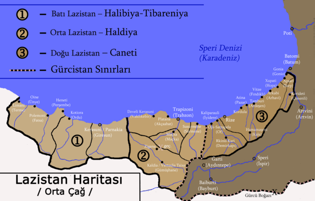
English: Lazistan Haritası: (1) Batı Lazistan, (2) Orta Lazistan, (3) Doğu Lazistan |
| Date | |
| Source | Own work |
| Author | Abkhazian1 |
Licensing
[edit]I, the copyright holder of this work, hereby publish it under the following license:
This file is licensed under the Creative Commons Attribution-Share Alike 4.0 International license.
- You are free:
- to share – to copy, distribute and transmit the work
- to remix – to adapt the work
- Under the following conditions:
- attribution – You must give appropriate credit, provide a link to the license, and indicate if changes were made. You may do so in any reasonable manner, but not in any way that suggests the licensor endorses you or your use.
- share alike – If you remix, transform, or build upon the material, you must distribute your contributions under the same or compatible license as the original.
File history
Click on a date/time to view the file as it appeared at that time.
| Date/Time | Thumbnail | Dimensions | User | Comment | |
|---|---|---|---|---|---|
| current | 09:59, 27 May 2015 |  | 5,262 × 3,366, 2 pages (10.78 MB) | Abkhazian1 (talk | contribs) | User created page with UploadWizard |
You cannot overwrite this file.
File usage on Commons
There are no pages that use this file.
Metadata
Categories:
- Lazistan Sanjak
- Maps of Georgia
- Maps of Pontus
- Maps of Rize Province
- Colchis
- Maps of Giresun Province
- Maps of Ordu Province
- History of Gümüşhane Province
- Maps of Gümüşhane Province
- Maps of Trabzon Province
- Maps of Lazika
- History of Trabzon Province
- History of Rize Province
- History of Giresun Province
- History of Ordu Province
- Maps of Lazeti