File:Kochanowice (gmina) location map.png

Original file (2,259 × 1,727 pixels, file size: 667 KB, MIME type: image/png)
Captions
Captions
Summary
[edit]_location_map.png&action=edit§ion=1)
| Description |
English: Location map |
| Date | |
| Source | Own work |
| Author | Smat |
| Description |
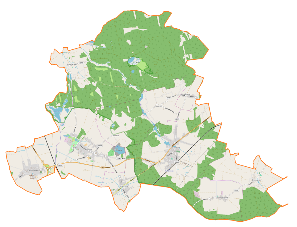
Polski: Mapa gminy Kochanowice, Polska
English: Map of Kochanowice (gmina), Poland |
|||||||||
| Date | ||||||||||
| Source | You may find a page on the OpenStreetMap wiki page for Kochanowice (gmina) | |||||||||
| Creator |
OpenStreetMap contributors OpenStreetMap contributors |
|||||||||
| Permission (Reusing this file) |
OpenStreetMap data is available under the Open Database License (details). Map tiles are licensed under the Creative Commons Attribution-ShareAlike 2.0 license (CC-BY-SA 2.0).
This file is licensed under the Creative Commons Attribution-Share Alike 2.0 Generic license.
|
|||||||||
| Geotemporal data | ||||||||||
| Bounding box |
|
|||||||||
| Georeferencing | If inappropriate please set warp_status = skip to hide. | |||||||||
Licensing
[edit]_location_map.png&action=edit§ion=2)
| This work contains information from OpenStreetMap, which is made available under the Open Database License (ODbL).
The ODbL does not require any particular license for maps produced from ODbL data. Prior to 1 August 2020, map tiles produced by the OpenStreetMap Foundation were licensed under the CC-BY-SA-2.0 license. Maps produced by other people may be subject to other licences. |
File history
Click on a date/time to view the file as it appeared at that time.
| Date/Time | Thumbnail | Dimensions | User | Comment | |
|---|---|---|---|---|---|
| current | 15:36, 17 October 2018 | | 2,259 × 1,727 (667 KB) | Smat (talk | contribs) | User created page with UploadWizard |
You cannot overwrite this file.
File usage on Commons
The following page uses this file:
File usage on other wikis
The following other wikis use this file:
- Usage on pl.wikipedia.org
- Lubecko
- Droniowice
- Harbułtowice
- Kochanowice
- Kochcice
- Lubockie
- Jawornica (województwo śląskie)
- Pawełki (województwo śląskie)
- Szklarnia (województwo śląskie)
- Imachów
- Ostrów (powiat lubliniecki)
- Kościół św. Stanisława w Jawornicy
- Kościół Wniebowzięcia Najświętszej Marii Panny w Lubecku
- Swaciok
- Pałac Ludwika Karola von Ballestrema w Kochcicach
- Kochanowice (stacja kolejowa)
- Parafia św. Stanisława w Jawornicy
- Parafia św. Wawrzyńca w Kochanowicach
- Zbór Kościoła Adwentystów Dnia Siódmego w Kochanowicach
- Kościół Matki Boskiej Fatimskiej w Pawełkach
- Śródlesie (województwo śląskie)
- Gajówka Kochcice
- Pałac w Kochanowicach
- Biały Ług (Kochcice)
- Ameryka (Kochanowice)
- Bizja (Kochanowice)
- Moduł:Mapa/dane/Kochanowice (gmina)
- Kochcice-Glinica
- Kościół św. Wawrzyńca w Kochanowicach
- Parafia Wniebowzięcia Najświętszej Maryi Panny w Lubecku
- Parafia Najświętszego Serca Pana Jezusa w Kochcicach
- Rezerwat przyrody Kochanowicki Grąd
- Usage on pl.wikibooks.org
- Usage on www.wikidata.org
_location_map.png&oldid=706461181)