File:Kanton Basel-Landschaft blank.png
Jump to navigation
Jump to search
Size of this preview: 800 × 483 pixels. Other resolutions: 320 × 193 pixels | 640 × 386 pixels | 1,024 × 618 pixels | 1,280 × 773 pixels | 2,460 × 1,485 pixels.
Original file (2,460 × 1,485 pixels, file size: 2.47 MB, MIME type: image/png)
Captions
Captions
Add a one-line explanation of what this file represents
| Description |
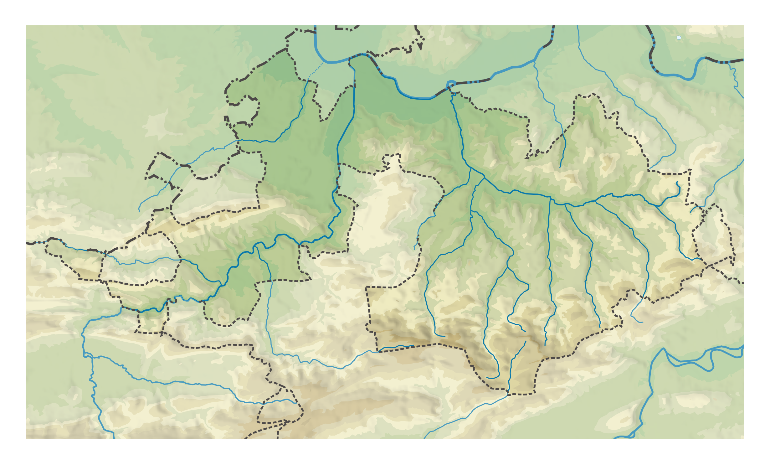
Deutsch: Karte des Basel-Landschaft nur Relief.
Topographischer Hintergrund: NASA Shuttle Radar Topography Mission (public domain). SRTM3 v.2. |
||||||||
| Date | |||||||||
| Source | Own work | ||||||||
| Author | Tschubby | ||||||||
| Permission (Reusing this file) |
I, the copyright holder of this work, hereby publish it under the following licenses:
This file is licensed under the Creative Commons Attribution-Share Alike 2.5 Generic, 2.0 Generic and 1.0 Generic license.
You may select the license of your choice. |
||||||||
| Other versions |
|


File history
Click on a date/time to view the file as it appeared at that time.
| Date/Time | Thumbnail | Dimensions | User | Comment | |
|---|---|---|---|---|---|
| current | 16:03, 29 May 2008 | | 2,460 × 1,485 (2.47 MB) | Tschubby (talk | contribs) | {{Information |Description= |Source=eigene Arbeit |Date= |Author= Tschubby |Permission= |other_versions= }} |
| 19:26, 28 May 2008 |  | 2,461 × 1,487 (2.46 MB) | Tschubby (talk | contribs) | {{Information |Description= {{de| Karte des Basel-Landschaft nur Relief.}} Topographischer Hintergrund: [http://www2.jpl.nasa.gov/srtm NASA Shuttle Radar Topography Mission] (public domain). SRTM3 v.2. |Source=eigene Arbeit |
You cannot overwrite this file.
File usage on Commons
The following 2 pages use this file: