File:Kansas Turnpike map.svg
Jump to navigation
Jump to search

Size of this PNG preview of this SVG file: 704 × 501 pixels. Other resolutions: 320 × 228 pixels | 640 × 455 pixels | 1,024 × 729 pixels | 1,280 × 911 pixels | 2,560 × 1,822 pixels.
Original file (SVG file, nominally 704 × 501 pixels, file size: 341 KB)
Captions
Captions
Add a one-line explanation of what this file represents
Summary
[edit]
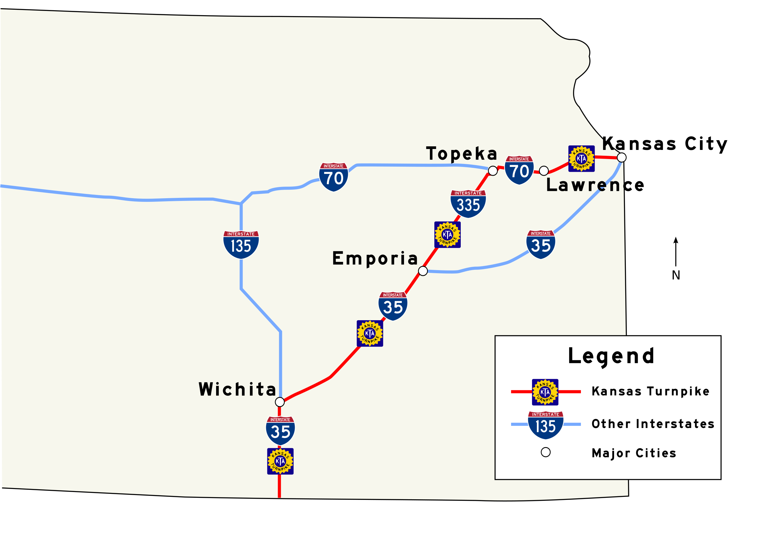
| Description | An SVG map of the Kansas Turnpike. Created by user in Inkscape, using SPUI's Interstate 35, 335, and 70 shields, part of Wapcaplet's w:Image:Map_of_USA_with_state_names.svg, and traced over a PDF version of the official Kansas State Highway map provided by KDOT. |
| Date | 18 January 2006 (original upload date) |
| Source | No machine-readable source provided. Own work assumed (based on copyright claims). |
| Author | No machine-readable author provided. Scott5114 assumed (based on copyright claims). |
Licensing
[edit]
| I, the copyright holder of this work, release this work into the public domain. This applies worldwide. In some countries this may not be legally possible; if so: I grant anyone the right to use this work for any purpose, without any conditions, unless such conditions are required by law. |
File history
Click on a date/time to view the file as it appeared at that time.
| Date/Time | Thumbnail | Dimensions | User | Comment | |
|---|---|---|---|---|---|
| current | 09:12, 24 March 2007 | | 704 × 501 (341 KB) | Scott5114 (talk | contribs) | update for consistency with w:WP:USRD/MTF standards |
| 18:28, 30 March 2006 |  | 704 × 501 (341 KB) | Scott5114 (talk | contribs) | Legend, north arrow | |
| 23:14, 18 January 2006 |  | 704 × 501 (241 KB) | Scott5114 (talk | contribs) | Font fix | |
| 22:59, 18 January 2006 |  | 744 × 501 (226 KB) | Scott5114 (talk | contribs) | An SVG map of the Kansas Turnpike. Created by user in Inkscape, using SPUI's Interstate 35, 335, and 70 shields, part of Wapcaplet's w:Image:Map_of_USA_with_state_names.svg, and traced over a PDF versi |
You cannot overwrite this file.
File usage on Commons
The following 2 pages use this file:
File usage on other wikis
The following other wikis use this file:
- Usage on ar.wikipedia.org
- Usage on en.wikipedia.org
- Usage on fr.wikipedia.org
- Usage on www.wikidata.org