File:Juana Lopez.jpg
Jump to navigation
Jump to search

Size of this preview: 800 × 600 pixels. Other resolutions: 320 × 240 pixels | 640 × 480 pixels | 1,024 × 768 pixels | 1,280 × 960 pixels | 2,560 × 1,920 pixels | 4,608 × 3,456 pixels.
Original file (4,608 × 3,456 pixels, file size: 6.65 MB, MIME type: image/jpeg)
Captions
Captions
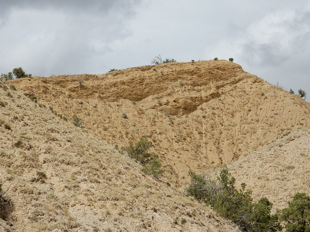
Juana Lopez Member near its reference section south of Cuba, New Mexico, US
Summary
[edit]
| Description |
English: This image shows the Juana Lopez Member near its reference section, south of Cuba, New Mexico, US. The Juana Lopez Member is here assigned to the Mancos Formation; in other regions, it may be assigned to the Carlisle Formation of the Mancos or Colorado Groups. The Juana Lopez Member is limestone and limy sandstone alternating with shale, is often richly fossiliferous, and is one of the most widespread and distinctive rock units laid down in the Cretaceous Western Interior Seaway. |
| Date | |
| Source | Own work |
| Author | Kent G. Budge |
| Camera location | | View this and other nearby images on: OpenStreetMap |
|---|
Licensing
[edit]
I, the copyright holder of this work, hereby publish it under the following license:
| This file is made available under the Creative Commons CC0 1.0 Universal Public Domain Dedication. | |
| The person who associated a work with this deed has dedicated the work to the public domain by waiving all of their rights to the work worldwide under copyright law, including all related and neighboring rights, to the extent allowed by law. You can copy, modify, distribute and perform the work, even for commercial purposes, all without asking permission.
|
File history
Click on a date/time to view the file as it appeared at that time.
| Date/Time | Thumbnail | Dimensions | User | Comment | |
|---|---|---|---|---|---|
| current | 01:01, 11 October 2021 | | 4,608 × 3,456 (6.65 MB) | Kent G. Budge (talk | contribs) | Uploaded own work with UploadWizard |
You cannot overwrite this file.
File usage on Commons
There are no pages that use this file.
File usage on other wikis
The following other wikis use this file:
- Usage on en.wikipedia.org