File:Joniskio rajono zemelapis.png
Jump to navigation
Jump to search
Size of this preview: 800 × 524 pixels. Other resolutions: 320 × 210 pixels | 640 × 419 pixels | 1,052 × 689 pixels.
Original file (1,052 × 689 pixels, file size: 161 KB, MIME type: image/png)
Captions
Captions
Add a one-line explanation of what this file represents
Summary
[edit]
| Description |
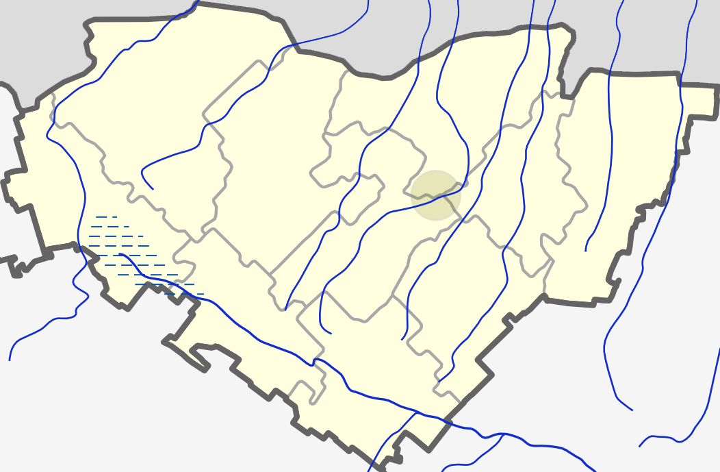
Lietuvių: Joniškio rajono žemėlapis. |
| Date | |
| Source | Own work |
| Author | Tocekas |
Licensing
[edit]
I, the copyright holder of this work, hereby publish it under the following licenses:
This file is licensed under the Creative Commons Attribution-Share Alike 3.0 Unported license.
- You are free:
- to share – to copy, distribute and transmit the work
- to remix – to adapt the work
- Under the following conditions:
- attribution – You must give appropriate credit, provide a link to the license, and indicate if changes were made. You may do so in any reasonable manner, but not in any way that suggests the licensor endorses you or your use.
- share alike – If you remix, transform, or build upon the material, you must distribute your contributions under the same or compatible license as the original.

|
Permission is granted to copy, distribute and/or modify this document under the terms of the GNU Free Documentation License, Version 1.2 or any later version published by the Free Software Foundation; with no Invariant Sections, no Front-Cover Texts, and no Back-Cover Texts. A copy of the license is included in the section entitled GNU Free Documentation License. |
You may select the license of your choice.
File history
Click on a date/time to view the file as it appeared at that time.
| Date/Time | Thumbnail | Dimensions | User | Comment | |
|---|---|---|---|---|---|
| current | 20:19, 8 February 2011 | | 1,052 × 689 (161 KB) | Tocekas (talk | contribs) | {{Information |Description ={{lt|1=Joniškio rajono žemėlapis.}} |Source ={{own}} |Author =Tocekas |Date =2011.02.08 |Permission = |other_versions = }} [[Category:Locator maps of municipalities in Lithu |
You cannot overwrite this file.
File usage on Commons
The following 11 pages use this file:
- User:Tocekas
- File:Gaizaiciu seniunija (Joniskio rajono zemelapis).png
- File:Gatauciu seniunija (Joniskio rajono zemelapis).png
- File:Joniskio seniunija (Joniskio rajono zemelapis).png
- File:Kepaliu seniunija (Joniskio rajono zemelapis).png
- File:Kriuku seniunija (Joniskio rajono zemelapis).png
- File:Rudiskiu seniunija (Joniskio rajono zemelapis).png
- File:Satkunu seniunija (Joniskio rajono zemelapis).png
- File:Saugelaukio seniunija (Joniskio rajono zemelapis).png
- File:Skaistgirio seniunija (Joniskio rajono zemelapis).png
- File:Zagares seniunija (Joniskio rajono zemelapis).png
.png)
.png)
.png)
.png)
.png)
.png)
.png)
.png)
.png)
.png)
File usage on other wikis
The following other wikis use this file:
- Usage on fr.wikipedia.org
- Usage on ru.wikipedia.org