File:Johnson-journey-ilchi1865-mapa.jpg
Jump to navigation
Jump to search
Size of this preview: 633 × 600 pixels. Other resolutions: 253 × 240 pixels | 506 × 480 pixels | 810 × 768 pixels | 1,080 × 1,024 pixels | 1,688 × 1,600 pixels.
Original file (1,688 × 1,600 pixels, file size: 495 KB, MIME type: image/jpeg)
Captions
Captions
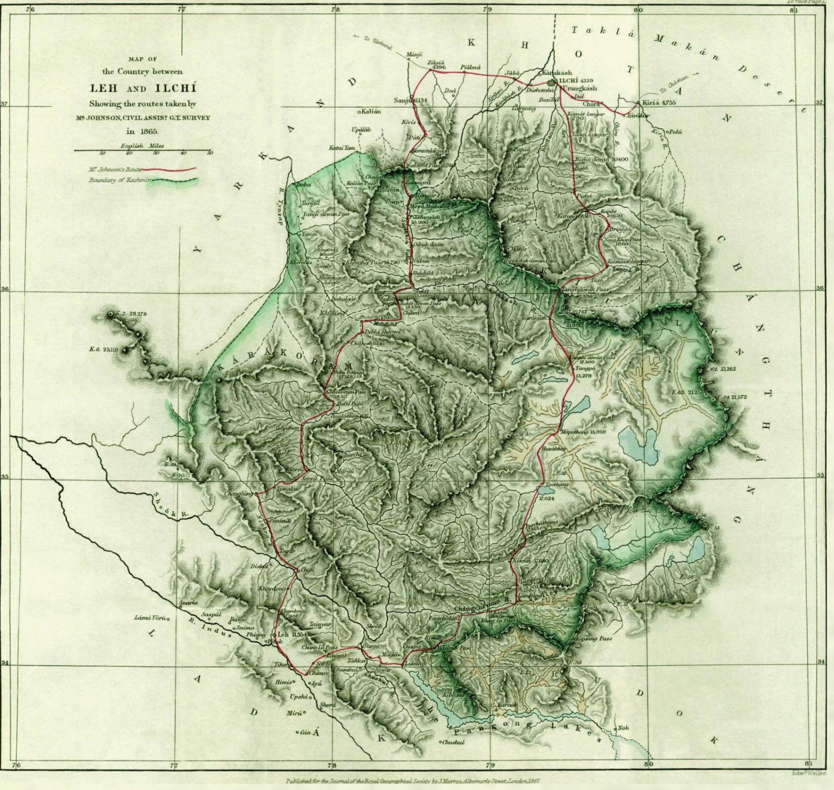
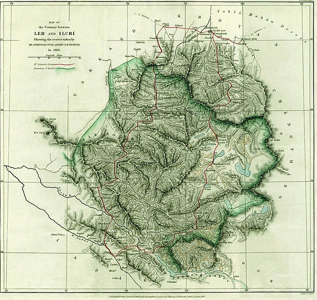
W. H. Johnson's map of northeast Ladakh and route to Khotan
Summary
[edit]
| Description |
English: W. H. Johnson's map of northeast Ladakh and route to Khotan |
||||||||||||||||
| Date | |||||||||||||||||
| Source | "Report on His Journey to Ilchí, the Capital of Khotan, in Chinese Tartary,", Journal of the Royal Geographical Society of London, Vol. 37. (1867), pp. 1-47. Maps downloaded, pasted, enhanced, and reduced by Fowler&fowler | ||||||||||||||||
| Author |
|
||||||||||||||||
Licensing
[edit]
|
This is a faithful photographic reproduction of a two-dimensional, public domain work of art. The work of art itself is in the public domain for the following reason:
The official position taken by the Wikimedia Foundation is that "faithful reproductions of two-dimensional public domain works of art are public domain".
This photographic reproduction is therefore also considered to be in the public domain in the United States. In other jurisdictions, re-use of this content may be restricted; see Reuse of PD-Art photographs for details. | ||||
File history
Click on a date/time to view the file as it appeared at that time.
| Date/Time | Thumbnail | Dimensions | User | Comment | |
|---|---|---|---|---|---|
| current | 11:13, 2 June 2021 | | 1,688 × 1,600 (495 KB) | Kautilya3 (talk | contribs) | Reverted to version as of 01:16, 15 July 2007 (UTC); The original version is more readable |
| 23:06, 9 September 2017 |  | 1,688 × 1,600 (824 KB) | Hohum (talk | contribs) | Colour adjust | |
| 01:16, 15 July 2007 |  | 1,688 × 1,600 (495 KB) | Fowler&fowler (talk | contribs) | Image of the 1867 map from the paper, [http://links.jstor.org/sici?sici=0266-6235%281867%2937%3C1%3AROHJTI%3E2.0.CO%3B2-7 "Report on His Journey to Ilchí, the Capital of Khotan, in Chinese Tartary,"] by W. H. Johnson, ''Journal of the Royal Geographical |
You cannot overwrite this file.
File usage on Commons
There are no pages that use this file.
File usage on other wikis
The following other wikis use this file: