File:Israel Hiking Map עין נזם 2.jpeg
Jump to navigation
Jump to search
Size of this preview: 800 × 450 pixels. Other resolutions: 320 × 180 pixels | 640 × 360 pixels | 1,024 × 576 pixels | 1,600 × 900 pixels.
Original file (1,600 × 900 pixels, file size: 663 KB, MIME type: image/jpeg)
Captions
Captions
Add a one-line explanation of what this file represents
Summary
[edit]
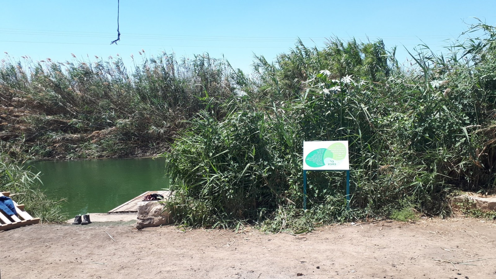
| Description | מעיין גדול ועמוק עם מים נקיים. ניתן להגיע עם רכב פרטי על שבילי עפר. לאחרונה נוספה סככה ופינת ישיבה |
| Date | |
| Source | Own work |
| Author | Harel M |
Licensing
[edit]
I, the copyright holder of this work, hereby publish it under the following license:
This file is licensed under the Creative Commons Attribution-Share Alike 4.0 International license.
- You are free:
- to share – to copy, distribute and transmit the work
- to remix – to adapt the work
- Under the following conditions:
- attribution – You must give appropriate credit, provide a link to the license, and indicate if changes were made. You may do so in any reasonable manner, but not in any way that suggests the licensor endorses you or your use.
- share alike – If you remix, transform, or build upon the material, you must distribute your contributions under the same or compatible license as the original.
| Camera location | | View this and other nearby images on: OpenStreetMap |
|---|
File history
Click on a date/time to view the file as it appeared at that time.
| Date/Time | Thumbnail | Dimensions | User | Comment | |
|---|---|---|---|---|---|
| current | 20:36, 8 July 2018 | | 1,600 × 900 (663 KB) | IsraelHikingMap (talk | contribs) | =={{int:filedesc}}== {{Information |date=2018-07-08 |description=מעיין גדול ועמוק עם מים נקיים. ניתן להגיע עם רכב פרטי על שבילי עפר. לאחרונה נוספה סככה ופינת ישיבה |source={{own}} |author=[//www.openstreetmap.org/user/Harel%20M Harel M] |permission= |other versions= }} =={{int:license-header}}== {{self|cc-by-sa-4.0}} {{Location|1=32.4314728|2=35.5149536}} Category:Israel Hiking Map |
You cannot overwrite this file.
File usage on Commons
The following page uses this file: