File:Iran-kharazmshahids2.jpg
Jump to navigation
Jump to search

Size of this preview: 800 × 559 pixels. Other resolutions: 320 × 224 pixels | 640 × 447 pixels | 1,024 × 716 pixels | 1,280 × 894 pixels | 2,523 × 1,763 pixels.
Original file (2,523 × 1,763 pixels, file size: 1.4 MB, MIME type: image/jpeg)
Captions
Captions
Add a one-line explanation of what this file represents
Summary
[edit]
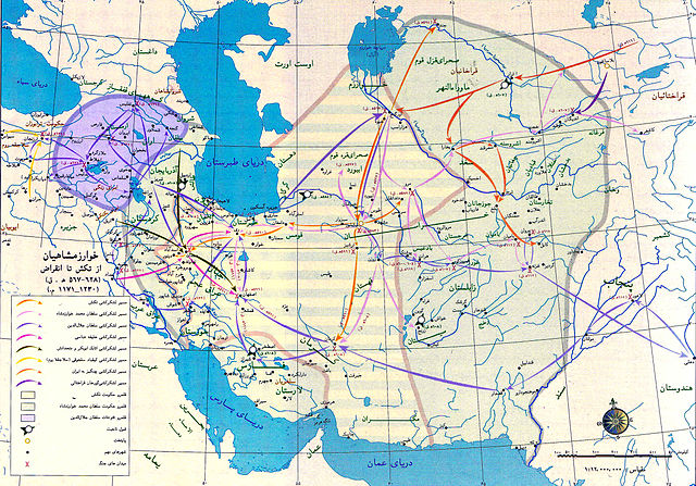
| Description | map of Iran during late kharazmshahids 1171-1230 AD |
| Date | first published 1971, revised:1999 |
| Source | Historic Atlas of Iran (public on official website of Iran Cultural Heritage Organization(ICHO) with lower resolution) |
| Author | National Cartographic Center of Iran (NCC) |
| Permission (Reusing this file) |
GNU Free Documentation License |
| Other versions | http://www.iranmiras.org/fr_site/history/ |
Licensing
[edit]

|
Permission is granted to copy, distribute and/or modify this document under the terms of the GNU Free Documentation License, Version 1.2 or any later version published by the Free Software Foundation; with no Invariant Sections, no Front-Cover Texts, and no Back-Cover Texts. A copy of the license is included in the section entitled GNU Free Documentation License. |
| This file is licensed under the Creative Commons Attribution-Share Alike 3.0 Unported license. | ||
| ||
| This licensing tag was added to this file as part of the GFDL licensing update. |
File history
Click on a date/time to view the file as it appeared at that time.
| Date/Time | Thumbnail | Dimensions | User | Comment | |
|---|---|---|---|---|---|
| current | 18:59, 12 January 2013 | | 2,523 × 1,763 (1.4 MB) | SaMin SAmIN (talk | contribs) | Levels. |
| 11:37, 28 January 2008 |  | 3,622 × 2,549 (1.91 MB) | Araz (talk | contribs) | {{Information |Description= map of Iran during late kharazmshahids 1171-1230 AD |Source= Historic Atlas of Iran (public on official website of Iran Cultural Heritage Organization(ICHO) with lower resolution) |Date=first published 1971, revised:1999 |Autho |
You cannot overwrite this file.
File usage on Commons
There are no pages that use this file.
File usage on other wikis
The following other wikis use this file:
- Usage on ckb.wikipedia.org
- Usage on fa.wikipedia.org
- Usage on fa.wikibooks.org
- Usage on pnb.wikipedia.org
- Usage on ru.wikipedia.org
- Usage on uk.wikipedia.org
- Usage on ur.wikipedia.org