File:Indianapolis map, 1903.jpg

Original file (7,966 × 11,993 pixels, file size: 19.3 MB, MIME type: image/jpeg)
Captions
Captions
Summary
[edit]
| Warning | The original file is very high-resolution. It might not load properly or could cause your browser to freeze when opened at full size. |
|---|
| Description |
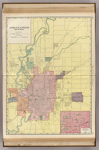
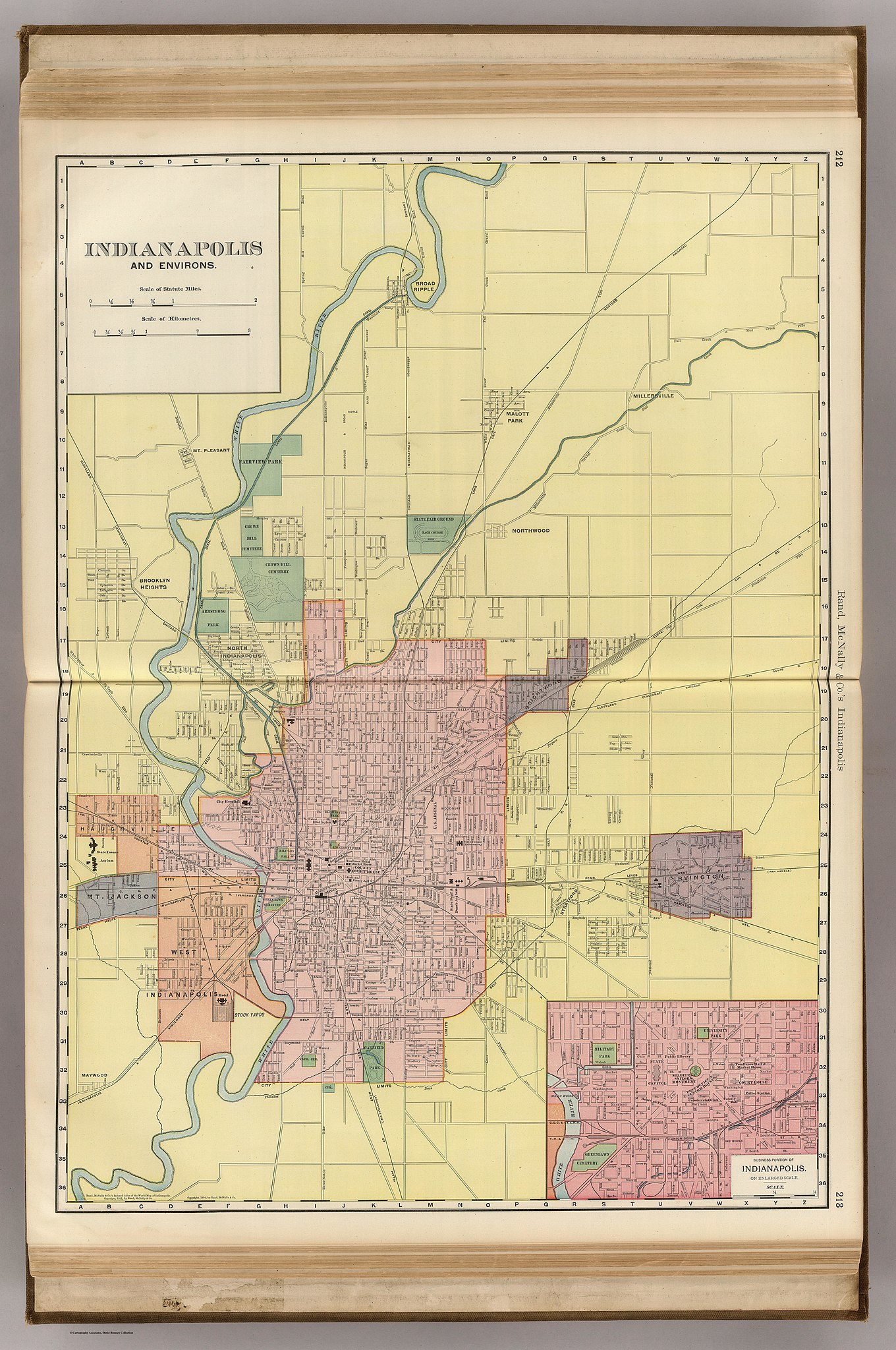
English: 1903 map of Indianapolis and its suburbs from Rand McNally |
| Date | |
| Source | Digital scan from https://www.davidrumsey.com/luna/servlet/detail/RUMSEY~8~1~37887~1210735:Indianapolis-?showTipAdvancedSearch=false&showShareIIIFLink=true&showTip=false&helpUrl=https%3A%2F%2Fdoc.lunaimaging.com%2Fdisplay%2FV74D%2FLUNA%2BViewer%23LUNAViewer-LUNAViewer&title=Search+Results%3A+List_No+equal+to+%272844.045%27&fullTextSearchChecked=&dateRangeSearchChecked=&advancedSearchUrl=https%3A%2F%2Fdoc.lunaimaging.com%2Fdisplay%2FV74D%2FSearching%23Searching-Searching&thumbnailViewUrlKey=link.view.search.url |
| Author |
Author: Rand McNally and Company Date: 1903 Short Title: Indianapolis. Publisher: Rand McNally and Company Publisher Location: Chicago Type: Atlas Map Obj Height cm: 70 Obj Width cm: 50 Scale 1: 32,000 Reference: P1088. Country: United States City: Indianapolis (Ind.) Full Title: Rand, McNally & Co.'s Indianapolis. (with) Business Portion of Indianapolis on an Enlarged Scale. List No: 2844.045 Page No: 212-213 Series No: 123 Publication Author: Rand McNally and Company Pub Date: 1903 Pub Title: Rand McNally & Co.'s Enlarged Business Atlas And Shippers' Guide ... Showing In Detail The Entire Railroad System ... Accompanied By A New And Original Compilation And Ready Reference Index ...Together With Complete Reference Maps Of All Countries With New Marginal Index ... Engraved, Printed, And Published By Rand, McNally & Company, Chicago, U.S.A., 1903. (on verso) ... Copyright, 1903, by Rand, McNally & Co. Pub Reference: P1088. Pub Note: 33rd edition. Maps change from the 1890's editions - they are now similar to the Large Indexed Atlas (see our 1908). Full printed color maps. Pub List No: 2844.000 Pub Type: National Atlas Pub Maps: 102 Pub Height cm: 53 Pub Width cm: 41 Image No: 2844045 Download 1: Full Image Download… Download 2: GeoViewer for JP2 a… Authors: Rand McNally and Company Collection: Rumsey Collection |
Licensing
[edit]
This work is in the public domain in the United States because it was published (or registered with the U.S. Copyright Office) before January 1, 1929.
Public domain works must be out of copyright in both the United States and in the source country of the work in order to be hosted on the Commons. If the work is not a U.S. work, the file must have an additional copyright tag indicating the copyright status in the source country.
Note: This tag should not be used for sound recordings. |
File history
Click on a date/time to view the file as it appeared at that time.
| Date/Time | Thumbnail | Dimensions | User | Comment | |
|---|---|---|---|---|---|
| current | 02:03, 30 November 2018 | | 7,966 × 11,993 (19.3 MB) | Koavf (talk | contribs) | User created page with UploadWizard |
You cannot overwrite this file.
File usage on Commons
There are no pages that use this file.