File:INTERIOR, LOOKING EAST TO ALTER - Old Stone Church and Cemetery, Off US Route 76, Clemson, Pickens County, SC HABS SC,39-CLEM.V,1-12.tif
Jump to navigation
Jump to search

Size of this JPG preview of this TIF file: 800 × 569 pixels. Other resolutions: 320 × 228 pixels | 640 × 455 pixels | 1,024 × 729 pixels | 1,280 × 911 pixels | 2,560 × 1,822 pixels | 5,000 × 3,558 pixels.
Original file (5,000 × 3,558 pixels, file size: 16.97 MB, MIME type: image/tiff)
Captions
Captions
Add a one-line explanation of what this file represents
Summary
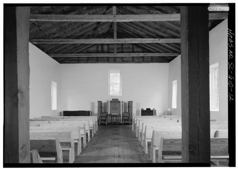
[edit]| INTERIOR, LOOKING EAST TO ALTER - Old Stone Church and Cemetery, Off US Route 76, Clemson, Pickens County, SC | ||||
|---|---|---|---|---|
| Title |
INTERIOR, LOOKING EAST TO ALTER - Old Stone Church and Cemetery, Off US Route 76, Clemson, Pickens County, SC |
|||
| Description |
Anderson, Robert; Pickens, Andrew; Boucher , Jack, photographer; Pittenger, Nancy, historian; Power, J Tracy, historian |
|||
| Depicted place | South Carolina; Pickens County; Clemson | |||
| Date | Documentation compiled after 1933 | |||
| Dimensions | height: 5 in (12.7 cm); width: 7 in (17.7 cm) | |||
| Current location |
Library of Congress Prints and Photographs Division Washington, D.C. 20540 USA http://hdl.loc.gov/loc.pnp/pp.print |
|||
| Accession number |
HABS SC,39-CLEM.V,1-12 |
|||
| Credit line |
|
|||
| Notes |
|
|||
| References |
|
|||
| Source | https://www.loc.gov/pictures/item/sc0755.photos.150460p | |||
| Permission (Reusing this file) |
|
|||

File history
Click on a date/time to view the file as it appeared at that time.
| Date/Time | Thumbnail | Dimensions | User | Comment | |
|---|---|---|---|---|---|
| current | 17:49, 1 August 2014 |  | 5,000 × 3,558 (16.97 MB) | Fæ (talk | contribs) | GWToolset: Creating mediafile for Fæ. HABS 2014-08-01 (3201:3400) |
You cannot overwrite this file.
File usage on Commons
The following page uses this file: