File:IHM תצפית מאיר יעקובי.jpeg
Jump to navigation
Jump to search
Size of this preview: 800 × 389 pixels. Other resolutions: 320 × 155 pixels | 640 × 311 pixels | 1,024 × 497 pixels | 1,600 × 777 pixels.
Original file (1,600 × 777 pixels, file size: 233 KB, MIME type: image/jpeg)
Captions
Captions
Add a one-line explanation of what this file represents
Summary
[edit]
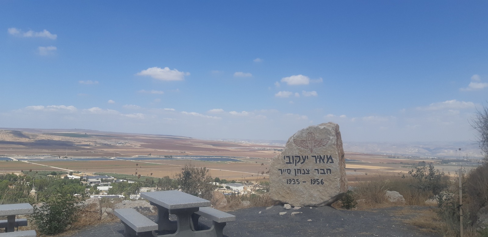
| Description | תצפית לעבר עמק חרוד, רמת צבאים, הר תבור וגבעת המורה לזכר מאיר יעקובי, בן קיבוץ בית אלפא, לוחם ביחידה 101 וסגן מפקד סיירת צנחנים שנפל בשבי הסורי במבצע צרצר ונהרג במבצע קדש. |
| Date | |
| Source | Own work |
| Author | פדואל |
Licensing
[edit]
I, the copyright holder of this work, hereby publish it under the following license:
This file is licensed under the Creative Commons Attribution-Share Alike 4.0 International license.
- You are free:
- to share – to copy, distribute and transmit the work
- to remix – to adapt the work
- Under the following conditions:
- attribution – You must give appropriate credit, provide a link to the license, and indicate if changes were made. You may do so in any reasonable manner, but not in any way that suggests the licensor endorses you or your use.
- share alike – If you remix, transform, or build upon the material, you must distribute your contributions under the same or compatible license as the original.
| Camera location | | View this and other nearby images on: OpenStreetMap |
|---|
File history
Click on a date/time to view the file as it appeared at that time.
| Date/Time | Thumbnail | Dimensions | User | Comment | |
|---|---|---|---|---|---|
| current | 21:04, 9 August 2020 | | 1,600 × 777 (233 KB) | IsraelHikingMap (talk | contribs) | =={{int:filedesc}}== {{Information |date=2020-08-10 |description=תצפית לעבר עמק חרוד, רמת צבאים, הר תבור וגבעת המורה לזכר מאיר יעקובי, בן קיבוץ בית אלפא, לוחם ביחידה 101 וסגן מפקד סיירת צנחנים שנפל בשבי הסורי במבצע צרצר ונהרג במבצע קדש. |source={{own}} |author=[//www.openstreetmap.org/user/%D7%A4%D7%93%D7%95%D7%90%D7%9C פדואל] |permission= |other versions= }} =={{int:license-header}}== {{self|cc-by-sa-4.0}} {{Location|1=32.51367046|2=35.4271589}} Category:Israel Hiking Map |
You cannot overwrite this file.
File usage on Commons
The following page uses this file: