File:Greater bristol basic.png
Jump to navigation
Jump to search
No higher resolution available.
Greater_bristol_basic.png (720 × 566 pixels, file size: 44 KB, MIME type: image/png)
Captions
Captions
Add a one-line explanation of what this file represents
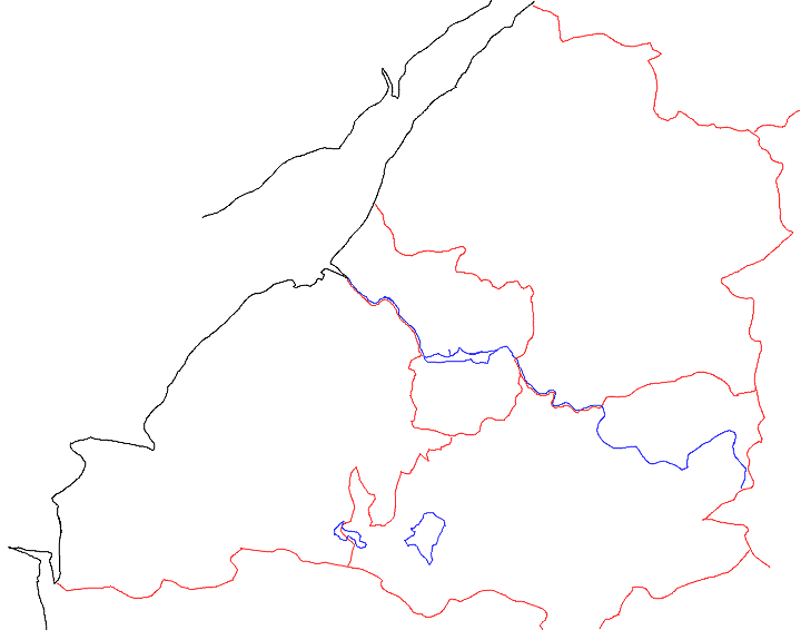
| Description | Map of Bristol, Bath and North East Somerset, North Somerset and South Gloucestershire, showing shoreline, major waterways and county boundaries. | ||
| Date | |||
| Source | Own work | ||
| Author | Steinsky (talk · contribs) | ||
| Permission (Reusing this file) |
|
| Camera location | | View this and other nearby images on: OpenStreetMap |
|---|
File history
Click on a date/time to view the file as it appeared at that time.
| Date/Time | Thumbnail | Dimensions | User | Comment | |
|---|---|---|---|---|---|
| current | 19:40, 4 May 2006 | | 720 × 566 (44 KB) | Steinsky (talk | contribs) | Map of Bristol, Bath and North East Somerset, North Somerset and South Gloucestershire, showing shoreline, major waterways and county boundaries. |
You cannot overwrite this file.
File usage on Commons
The following page uses this file:
File usage on other wikis
The following other wikis use this file:
- Usage on en.wikipedia.org