File:Grafschaft Hennegau 1250.PNG
Jump to navigation
Jump to search
No higher resolution available.
Grafschaft_Hennegau_1250.PNG (745 × 479 pixels, file size: 265 KB, MIME type: image/png)
Captions
Captions
Add a one-line explanation of what this file represents
Summary
[edit]
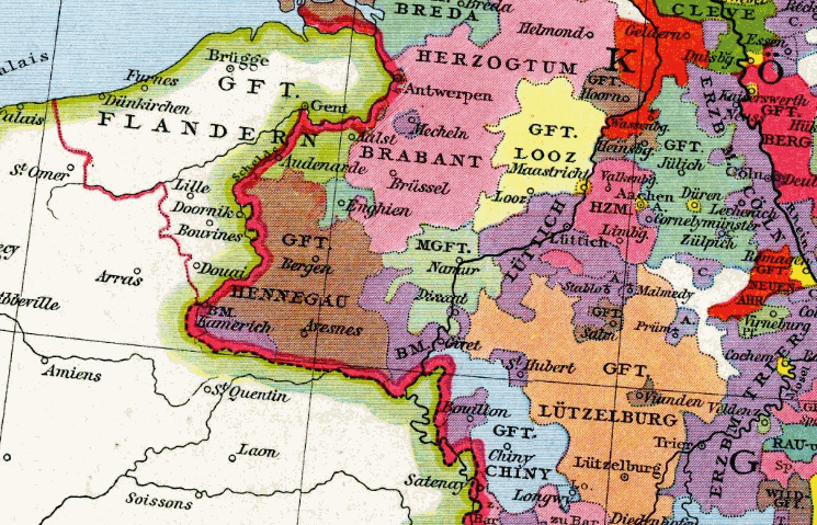
| Description |
Deutsch: Grafschaft Hennegau um 1250 |
| Date | |
| Source | Allgemeiner historischer Handatlas |
| Author | Gustav Droysen |
Licensing
[edit]
|
This work is in the public domain in its country of origin and other countries and areas where the copyright term is the author's life plus 70 years or fewer. | |
| This file has been identified as being free of known restrictions under copyright law, including all related and neighboring rights. | |
File history
Click on a date/time to view the file as it appeared at that time.
| Date/Time | Thumbnail | Dimensions | User | Comment | |
|---|---|---|---|---|---|
| current | 11:50, 12 November 2007 | | 745 × 479 (265 KB) | Alma (talk | contribs) | {{Information |Description=Grafschaft Hennegau um 1250 |Source=Allgemeiner historischer Handatlas |Date=1886 |Author=Gustav Droysen |Permission= |other_versions= }} {{pd-old}} |
You cannot overwrite this file.
File usage on Commons
The following 3 pages use this file:
File usage on other wikis
The following other wikis use this file:
- Usage on ar.wikipedia.org
- Usage on arz.wikipedia.org
- Usage on be.wikipedia.org
- Usage on bg.wikipedia.org
- Usage on ca.wikipedia.org
- Usage on cs.wikipedia.org
- Usage on de.wiktionary.org
- Usage on et.wikipedia.org
- Usage on fr.wikipedia.org
- Usage on he.wikipedia.org
- Usage on lt.wikipedia.org
- Usage on ru.wikipedia.org
- Эно (графство)
- Лоон
- Горн (графство)
- Филипп I (маркграф Намюра)
- Вильгельм III (граф Юлиха)
- Вильгельм II (граф Юлиха)
- Жан I (граф Лоона)
- Вильгельм I (граф Юлиха)
- Герхард III (граф Юлиха)
- Герхард IV (граф Юлиха)
- Луи I (граф Лоона)
- Арнуль I (граф Лоона)
- Арнуль II (граф Лоона)
- Арнуль IV (граф Лоона)
- Жерар II (граф Лоона)
- Шини (графство)
- Usage on uk.wikipedia.org
- Usage on www.wikidata.org
Categories:
- 1880s maps of Belgium
- Cambrésis
- Maps of the county of Flanders
- Maps of the history of Brabant
- County of Namur
- County of Loon
- Maps of the Duchy of Limburg
- County of Horne
- Duchy of Jülich
- Duchy of Berg
- Duchy of Cleves
- Guelders
- Maps of the Prince-Bishopric of Liège
- Duchy of Luxembourg
- County of Chiny
- History of Abbaye de Stavelot
- Maps pieces from Allgemeiner Historischer Handatlas
- Venlo in the 13th century