File:Gesäters kyrka old1.jpg
Jump to navigation
Jump to search

Size of this preview: 800 × 567 pixels. Other resolutions: 320 × 227 pixels | 640 × 453 pixels.
Original file (847 × 600 pixels, file size: 88 KB, MIME type: image/jpeg)
Captions
Captions
Add a one-line explanation of what this file represents
Summary
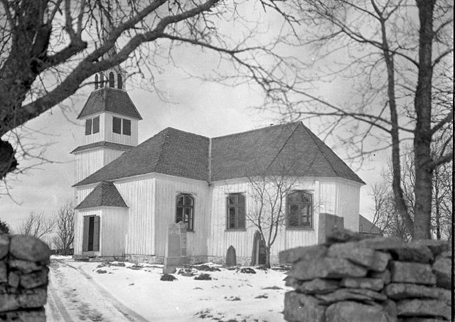
[edit]| Gesäters kyrka
( |
|||||||||||||||||||||||||||
|---|---|---|---|---|---|---|---|---|---|---|---|---|---|---|---|---|---|---|---|---|---|---|---|---|---|---|---|
| Photographer |
Bertil Berthelson |
||||||||||||||||||||||||||
| Title |
Gesäters kyrka |
||||||||||||||||||||||||||
| Original caption |
Notera Av dokumentationsskäl har originalbeskrivningen från Riksantikvarieämbetet behållits. Tillrättalägganden och alternativa beskrivningar bör införas separat från nedanstående information. Kyrkan från sydöst.Felaktigheter kan även anmälas till denna sida. |
||||||||||||||||||||||||||
| Description |
|
||||||||||||||||||||||||||
| Depicted place | County (län): Västra Götaland, Municipality (kommun): Dals-Ed, Province (landskap): Dalsland, Parish (socken): Gesäter | ||||||||||||||||||||||||||
| Date | 1931 | ||||||||||||||||||||||||||
| Collection |
|
||||||||||||||||||||||||||
| Accession number | |||||||||||||||||||||||||||
| Source | Kulturmiljöbild, Riksantikvarieämbetet | ||||||||||||||||||||||||||
| Permission (Reusing this file) |
|
||||||||||||||||||||||||||


| Object location | | View this and other nearby images on: OpenStreetMap |
|---|
File history
Click on a date/time to view the file as it appeared at that time.
| Date/Time | Thumbnail | Dimensions | User | Comment | |
|---|---|---|---|---|---|
| current | 19:48, 15 July 2012 | | 847 × 600 (88 KB) | Ulkl (talk | contribs) |
You cannot overwrite this file.
File usage on Commons
The following 3 pages use this file:
File usage on other wikis
The following other wikis use this file:
- Usage on ceb.wikipedia.org
- Usage on fi.wikipedia.org
- Usage on sv.wikipedia.org
- Usage on www.wikidata.org
- Usage on zh-min-nan.wikipedia.org