File:Germany2 location map.svg

Original file (SVG file, nominally 1,073 × 1,272 pixels, file size: 638 KB)
Captions
Captions
Summary
[edit]| Description |
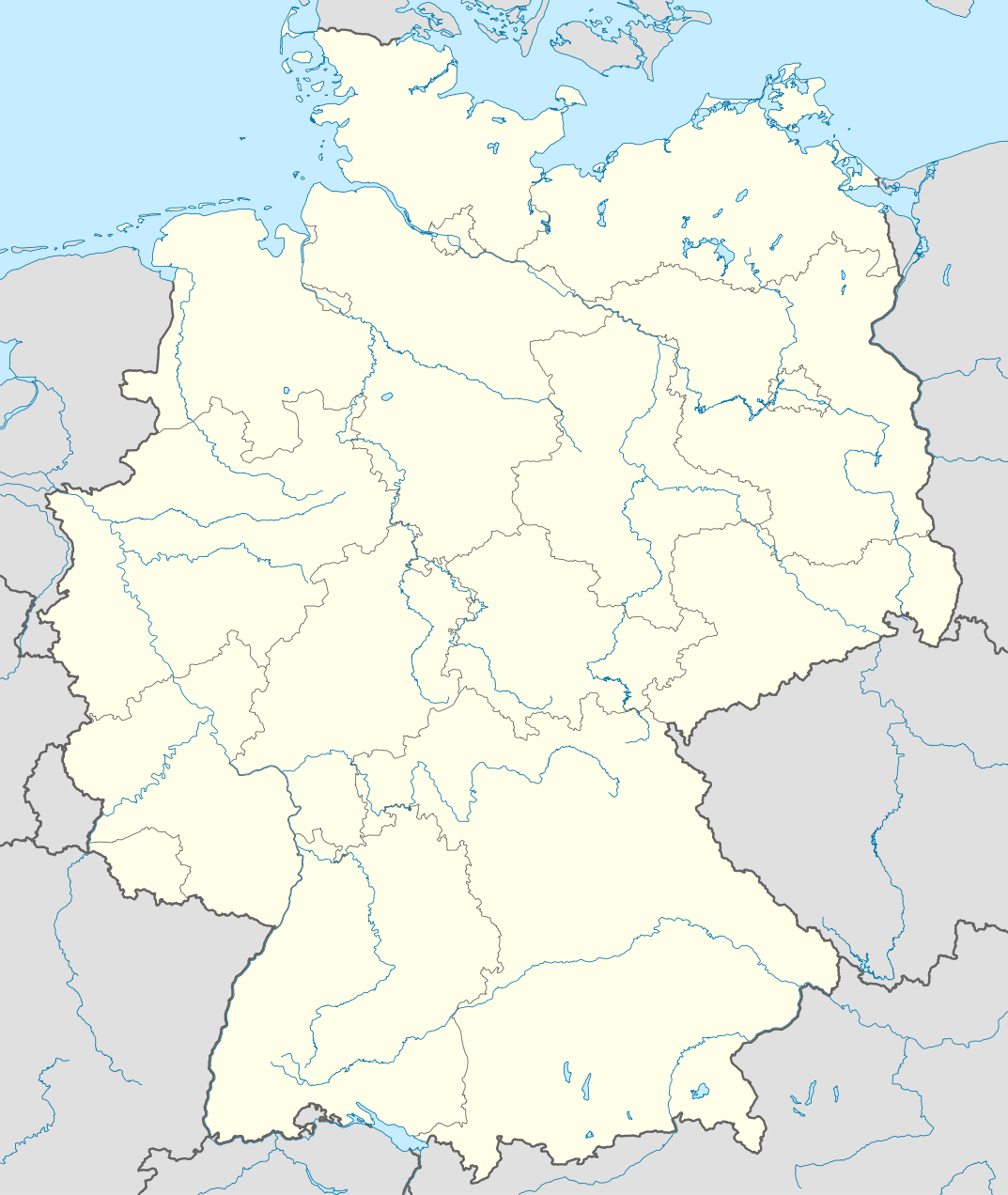
Deutsch: Positionskarte von Deutschland mit Gewässern
Quadratische Plattkarte, N-S-Streckung 150 %. Geographische Begrenzung der Karte:
English: Location map of Germany with waterbodies
Equirectangular projection, N/S stretching 150 %. Geographic limits of the map:
|
||
| Date | |||
| Source | Own work, using United States National Imagery and Mapping Agency data | ||
| Author | NordNordWest | ||
| Permission (Reusing this file) |
I, the copyright holder of this work, hereby publish it under the following licenses:
This file is licensed under the Creative Commons Attribution-Share Alike 3.0 Unported license.
You may select the license of your choice. |
||
| Other versions |
Bundesrepublik Deutschland (vor 1990 nur West-Deutschland):
Deutsche Demokratische Republik (mit BRD im Ausschnitt):
Ostdeutschland (vor 1990 Deutsche Demokratische Republik):
Deutschland zwischen Mai 1945 und Oktober 1949:
Thematisch:
Deutsches Reich (1918–1945) (best used with this template (de)):
|
||
| SVG development | This W3C-invalid map was created with Adobe Illustrator.
|


_23_May_1949_-_6_Oct_1949.svg)


_location_map.svg)
_location_map_2013.svg)


File history
Click on a date/time to view the file as it appeared at that time.
| Date/Time | Thumbnail | Dimensions | User | Comment | |
|---|---|---|---|---|---|
| current | 20:13, 5 August 2012 | | 1,073 × 1,272 (638 KB) | NordNordWest (talk | contribs) | upd |
| 19:13, 22 March 2010 |  | 1,073 × 1,272 (635 KB) | NordNordWest (talk | contribs) | == {{int:filedesc}} == {{Information |Description= {{de|Positionskarte von Deutschland mit Gewässern}} Quadratische Plattkarte, N-S-Streckung 150 %. Geographische Begrenzung der Karte: * N: 55.1° N * S |
You cannot overwrite this file.
File usage on Commons
More than 100 pages use this file. The following list shows the first 100 pages that use this file only. A full list is available.
- User:NordNordWest/Gallery/Location maps
- Commons:Files used on RegiowikiAT/5
- File:Ausbreitung des Franziskanerordens im 13. Jahrhundert in Deutschland.svg
- File:Baden-Württemberg in Germany.svg
- File:Baden-Württemberg in Germany (relief).svg
- File:Baden-Württemberg in Germany (relief) (shade).svg
- File:Baden-Württemberg in Germany (relief) (shade) (special marker).svg
- File:Bavaria in Germany.svg
- File:Bavaria in Germany (relief).svg
- File:Bavaria in Germany (relief) (shade).svg
- File:Bavaria in Germany (relief) (shade) (special marker).svg
- File:Berlin in Germany.svg
- File:Berlin in Germany (relief).svg
- File:Berlin in Germany (relief) (shade).svg
- File:Berlin in Germany (relief) (shade) (special marker).svg
- File:Brandenburg in Germany.svg
- File:Brandenburg in Germany (relief).svg
- File:Brandenburg in Germany (relief) (shade).svg
- File:Brandenburg in Germany (relief) (shade) (special marker).svg
- File:Bremen in Germany.svg
- File:Bremen in Germany (relief).svg
- File:Bremen in Germany (relief) (shade).svg
- File:Bremen in Germany (relief) (shade) (special marker).svg
- File:Bremen in Germany (zoom).svg
- File:Corvey possessions.svg
- File:Deutschland Autobahnen.svg
- File:East-West-Germany-October 1949-July 1952.svg
- File:East Germany location map.svg
- File:Germany, Federal Republic of location map 23 May 1949 - 6 Oct 1949.svg
- File:Germany, Federal Republic of location map April 1952 - August 1955.svg
- File:Germany, Federal Republic of location map December 1950 - April 1952.svg
- File:Germany, Federal Republic of location map January 1957 - October 1990.svg
- File:Germany, Federal Republic of location map October 1949 - November 1950.svg
- File:Germany, Federal Republic of location map September 1955 - December 1956.svg
- File:Germany, German Democratic Republic location map January 1957 - October 1990.svg
- File:Germany, German Democratic Republic location map July 1952 - January 1957.svg
- File:Germany, German Democratic Republic location map October 1949 - July 1952.svg
- File:Germany, German Democratic Republic location map w·o FRG July 1952 - October 1990.svg
- File:Germany, German Democratic Republic location map w·o FRG October 1949 - June 1952.svg
- File:Germany, location map (SBZ perspective) 23 May 1949 - 6 Oct 1949.svg
- File:Germany2 location map.svg
- File:Germany location map.svg
- File:Germany location map 23 April 1949 - 22 May 1949.svg
- File:Germany location map 8 Jun 1947 - 22 Apr 1949.svg
- File:Germany location map April 1992 - July 1992.svg
- File:Germany location map August 1992 - June 1993.svg
- File:Germany location map July 1993 - December 2009.svg
- File:Germany location map October 1990 - March 1992.svg
- File:Germany location map labeled 8 Jun 1947 - 22 Apr 1949.svg
- File:Hamburg in Germany.svg
- File:Hamburg in Germany (relief).svg
- File:Hamburg in Germany (relief) (shade).svg
- File:Hamburg in Germany (relief) (shade) (special marker).svg
- File:Hamburg in Germany (special marker).svg
- File:Hamburg in Germany (zoom).svg
- File:Hamburg in Germany (zoom-zoom).svg
- File:Hesse in Germany.svg
- File:Hesse in Germany (relief).svg
- File:Hesse in Germany (relief) (shade).svg
- File:Hesse in Germany (relief) (shade) (special marker).svg
- File:Lage Freiberg in Deutschland.png
- File:Lower Saxony in Germany.svg
- File:Lower Saxony in Germany (relief).svg
- File:Lower Saxony in Germany (relief) (shade).svg
- File:Lower Saxony in Germany (relief) (shade) (special marker).svg
- File:Mecklenburg-Vorpommern in Germany.svg
- File:Mecklenburg-Vorpommern in Germany (relief).svg
- File:Mecklenburg-Vorpommern in Germany (relief) (shade).svg
- File:Mecklenburg-Vorpommern in Germany (relief) (shade) (special marker).svg
- File:North Rhine-Westphalia in Germany.svg
- File:North Rhine-Westphalia in Germany (relief).svg
- File:North Rhine-Westphalia in Germany (relief) (shade).svg
- File:North Rhine-Westphalia in Germany (relief) (shade) (special marker).svg
- File:Relief Map of Germany.png
- File:Relief Map of Germany.svg
- File:Rhineland-Palatinate in Germany.svg
- File:Rhineland-Palatinate in Germany (relief).svg
- File:Rhineland-Palatinate in Germany (relief) (shade).svg
- File:Rhineland-Palatinate in Germany (relief) (shade) (special marker).svg
- File:Saarland in Germany.svg
- File:Saarland in Germany (relief).svg
- File:Saarland in Germany (relief) (shade).svg
- File:Saarland in Germany (relief) (shade) (special marker).svg
- File:Saxony-Anhalt in Germany.svg
- File:Saxony-Anhalt in Germany (relief).svg
- File:Saxony-Anhalt in Germany (relief) (shade).svg
- File:Saxony-Anhalt in Germany (relief) (shade) (special marker).svg
- File:Saxony in Germany.svg
- File:Saxony in Germany (relief).svg
- File:Saxony in Germany (relief) (shade).svg
- File:Saxony in Germany (relief) (shade) (special marker).svg
- File:Schleswig-Holstein in Germany.svg
- File:Schleswig-Holstein in Germany (+special island marker).svg
- File:Schleswig-Holstein in Germany (relief).svg
- File:Schleswig-Holstein in Germany (relief) (shade).svg
- File:Schleswig-Holstein in Germany (relief) (shade) (special marker).svg
- File:Thuringia in Germany.svg
- File:Thuringia in Germany (relief).svg
- File:Thuringia in Germany (relief) (shade).svg
- File:Thuringia in Germany (relief) (shade) (special marker).svg
.svg)
_(shade).svg)
_(shade)_(special_marker).svg)
.svg)
_(shade).svg)
_(shade)_(special_marker).svg)
.svg)
_(shade).svg)
_(shade)_(special_marker).svg)
.svg)
_(shade).svg)
_(shade)_(special_marker).svg)
.svg)
_(shade).svg)
_(shade)_(special_marker).svg)
.svg)
.svg)
_(shade).svg)
_(shade)_(special_marker).svg)
.svg)
.svg)
.svg)
.svg)
_(shade).svg)
_(shade)_(special_marker).svg)
.svg)
_(shade).svg)
_(shade)_(special_marker).svg)
.svg)
_(shade).svg)
_(shade)_(special_marker).svg)
.svg)
_(shade).svg)
_(shade)_(special_marker).svg)
.svg)
_(shade).svg)
_(shade)_(special_marker).svg)
.svg)
_(shade).svg)
_(shade)_(special_marker).svg)
.svg)
_(shade).svg)
_(shade)_(special_marker).svg)
.svg)
_(shade).svg)
_(shade)_(special_marker).svg)
.svg)
.svg)
_(shade).svg)
_(shade)_(special_marker).svg)
.svg)
_(shade).svg)
_(shade)_(special_marker).svg)
View more links to this file.
File usage on other wikis
The following other wikis use this file:
- Usage on als.wikipedia.org
- Usage on de.wikipedia.org
- Usage on en.wikipedia.org
- Usage on es.wikipedia.org
- Usage on frr.wikipedia.org
- Usage on fr.wikipedia.org
- Usage on gl.wikipedia.org
- Usage on nds-nl.wikipedia.org
- Usage on pfl.wikipedia.org
- Usage on uk.wikipedia.org
- Мюнхен
- Гайдельберг
- Дрезден
- Регенсбург
- Берлінський мур
- Аркона (Яромарсбург)
- Штутгарт
- Ведель
- Гамбург
- Франкфурт-на-Майні
- Пфуллінген
- Кельн
- Томм
- Магдебург
- Любек
- Лейпциг
- Штральзунд
- Буков
- Мансфельд (місто)
- Неда
- Кільський канал
- Брунсбюттель
- Росток
- Дюссельдорф
- Потсдам
- Шмалькальден
- Франкфурт-на-Майні (аеропорт)
- Бранібор
- Бамберг
- Червона ратуша
- Ютерзен
- Театр у Байройті
- Кетен (місто)
- Вітцендорф
- Бранденбурзькі ворота
- Ашерслебен
- Моріцбург (Саксонія)
View more global usage of this file.