File:General soil map, Platte River basin, Wyoming LOC 2002623779.tif
Jump to navigation
Jump to search

Size of this JPG preview of this TIF file: 800 × 405 pixels. Other resolutions: 320 × 162 pixels | 640 × 324 pixels | 1,024 × 518 pixels | 1,280 × 648 pixels | 2,560 × 1,296 pixels | 6,440 × 3,259 pixels.
Original file (6,440 × 3,259 pixels, file size: 60.05 MB, MIME type: image/tiff)
Captions
Captions
Add a one-line explanation of what this file represents
Summary
[edit]| Description |
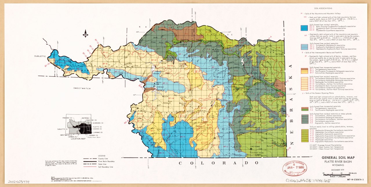
English: "December 1979." "Source: Base map prepared by SCS, WTSC Carto Unit from USGS 1:1,000,000 Nat. Atlas." "Thematic detail compiled by state staff." "M7-N-23067A-3." Includes location map and list of "soil associations." Available also through the Library of Congress Web site as a raster image. |
||
| Title | General soil map, Platte River basin, Wyoming | ||
| Shelf ID | G4052.N6J3 1979 .U5 | ||
| Date | |||
| Source | https://www.loc.gov/item/2002623779/ | ||
| Author | United States. Soil Conservation Service | ||
| Permission (Reusing this file) |
|
||
| Other versions |
|
||
| Location | North Platte River Watershed · United States · North Platte River Watershed. | ||
| Part of | American Memory · Catalog · Geography And Map Division · Additional Conservation And Environment Cartographic Items | ||
| Subject | North Platte River Watershed · Soils · United States · Maps |


Licensing
[edit]This work is in the public domain in the United States because it is a work prepared by an officer or employee of the United States Government as part of that person’s official duties under the terms of Title 17, Chapter 1, Section 105 of the US Code.
Note: This only applies to original works of the Federal Government and not to the work of any individual U.S. state, territory, commonwealth, county, municipality, or any other subdivision. This template also does not apply to postage stamp designs published by the United States Postal Service since 1978. (See § 313.6(C)(1) of Compendium of U.S. Copyright Office Practices). It also does not apply to certain US coins; see The US Mint Terms of Use.
|
 | |
| This file has been identified as being free of known restrictions under copyright law, including all related and neighboring rights. | ||
File history
Click on a date/time to view the file as it appeared at that time.
| Date/Time | Thumbnail | Dimensions | User | Comment | |
|---|---|---|---|---|---|
| current | 15:44, 27 January 2020 |  | 6,440 × 3,259 (60.05 MB) | Fæ (talk | contribs) | LOC Maps https://www.loc.gov/item/2002623779/ #18267 |
You cannot overwrite this file.
File usage on Commons
The following page uses this file: