File:Géoportail.png
Original file (935 × 597 pixels, file size: 883 KB, MIME type: image/png)
Captions
Captions
Summary
[edit]
| Description |
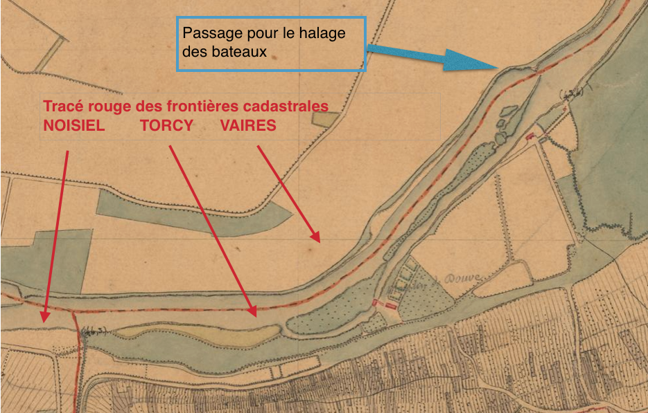
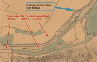
Français : Carte d'Etat major Géoportail XIXe siècle |
| Date | 18?? |
| Source |
|
| Author |
|
Licensing
[edit]
|
This work is in the public domain in its country of origin and other countries and areas where the copyright term is the author's life plus 70 years or fewer.
| |
| This file has been identified as being free of known restrictions under copyright law, including all related and neighboring rights. | |
File history
Click on a date/time to view the file as it appeared at that time.
| Date/Time | Thumbnail | Dimensions | User | Comment | |
|---|---|---|---|---|---|
| current | 17:05, 20 May 2021 | | 935 × 597 (883 KB) | Lucien Follet (talk | contribs) | Cross-wiki upload from fr.wikipedia.org |
You cannot overwrite this file.
File usage on Commons
There are no pages that use this file.
File usage on other wikis
The following other wikis use this file:
- Usage on fr.wikipedia.org