File:French Service géographique de l'armée, Environs de Hama (FL147439334 4083829).jpg
Jump to navigation
Jump to search

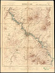
Size of this preview: 454 × 599 pixels. Other resolutions: 182 × 240 pixels | 363 × 480 pixels | 582 × 768 pixels | 775 × 1,024 pixels | 1,551 × 2,048 pixels | 12,903 × 17,036 pixels.
Original file (12,903 × 17,036 pixels, file size: 278.26 MB, MIME type: image/jpeg)
Captions
Captions
Add a one-line explanation of what this file represents
Summary
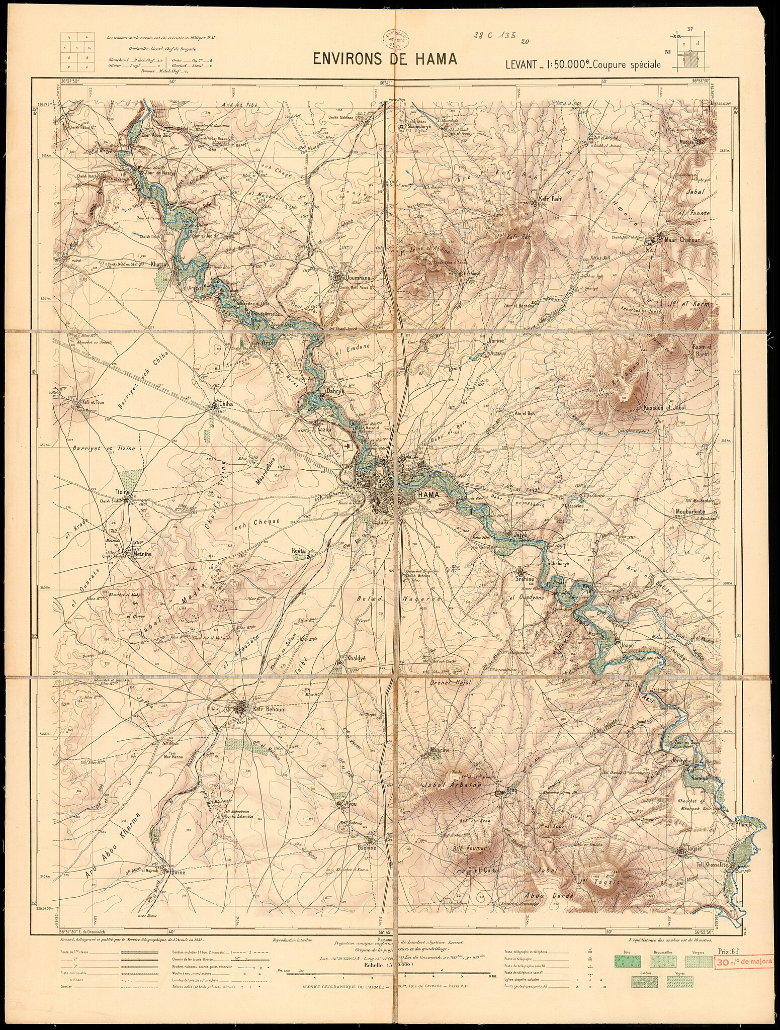
[edit]| Service géographique de l'armée: Environs de Hama
( |
||||||||||||||||||||||||
|---|---|---|---|---|---|---|---|---|---|---|---|---|---|---|---|---|---|---|---|---|---|---|---|---|
| Artist |
|
|||||||||||||||||||||||
| Title |
Environs de Hama |
|||||||||||||||||||||||
| Publisher |
Service Géographique de l'Armée |
|||||||||||||||||||||||
| Description |
Environs de Hama. Dressè, heliogravè et publie par le Service Geograhphique de l'Armée. |
|||||||||||||||||||||||
| Language | French | |||||||||||||||||||||||
| Publication date | 1931 | |||||||||||||||||||||||
| Medium | 1 sheet : color ; | |||||||||||||||||||||||
| Dimensions | height: 71 cm (27.9 in); width: 54 cm (21.2 in) | |||||||||||||||||||||||
| Collection |
|
|||||||||||||||||||||||
| Current location |
|
|||||||||||||||||||||||
| Place of publication | Paris | |||||||||||||||||||||||
| search Merhav catalog | Paris | |||||||||||||||||||||||
| Notes |
English: Levant 1:50,000 ; NI - 37 - XIX -2a-b | |||||||||||||||||||||||
| scale | 1:50,000 cm | |||||||||||||||||||||||
| IE PID | IE147439332 | |||||||||||||||||||||||
| Rosetta filename | FL147439334 | |||||||||||||||||||||||
| NNL item ID (P3959) | 990040838290205171 | |||||||||||||||||||||||
| search Merhav catalog | French, Service géographique de l'armée | |||||||||||||||||||||||
| search Merhav catalog | Service Géographique de l'Armée | |||||||||||||||||||||||
| Source/Photographer |
|
|||||||||||||||||||||||
| Other versions | ||||||||||||||||||||||||
| Jpg / Tif version |
|
|||||||||||||||||||||||

.jpg)

.jpg&action=edit§ion=1)
Licensing
[edit].jpg&action=edit§ion=2)
This work is in the public domain in France for one of the following reasons:
|
 |
File history
Click on a date/time to view the file as it appeared at that time.
| Date/Time | Thumbnail | Dimensions | User | Comment | |
|---|---|---|---|---|---|
| current | 16:17, 13 August 2023 | | 12,903 × 17,036 (278.26 MB) | Geagea (talk | contribs) | pattypan 22.03 |
You cannot overwrite this file.
File usage on Commons
The following page uses this file:
.jpg&oldid=792767590)