File:Forests in Iran 07.ogv
Jump to navigation
Jump to search
Size of this JPG preview of this OGG file: 800 × 450 pixels. Other resolutions: 320 × 180 pixels | 640 × 360 pixels | 1,024 × 576 pixels | 1,280 × 720 pixels | 1,920 × 1,080 pixels.
Original file (Ogg Theora video file, length 19 s, 1,920 × 1,080 pixels, 23.71 Mbps, file size: 53.13 MB)
Captions
Captions
Add a one-line explanation of what this file represents
Summary
[edit]| Description |
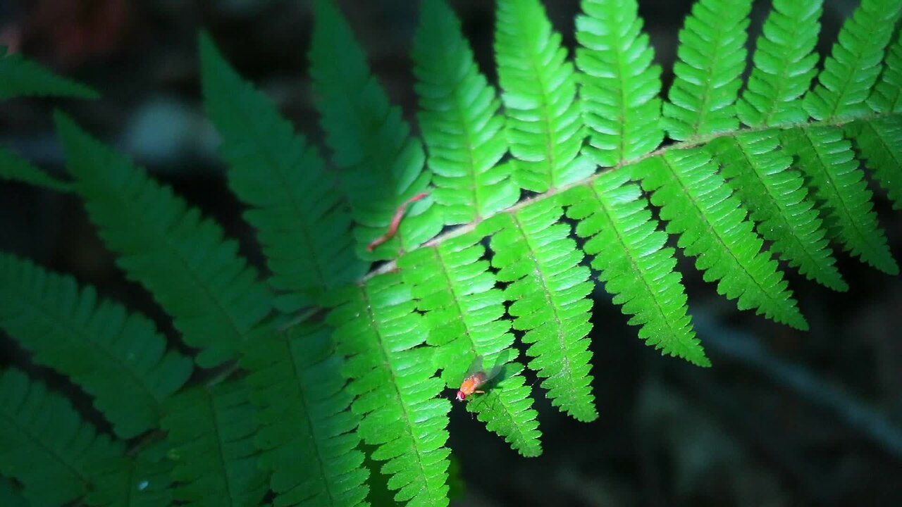
فارسی: جنگلهای ایران بخشی از منابع طبیعی ایران هستند. بیشتر جنگلهای این کشور، در نواحی شمالی، در حاشیه جنوب دریای کاسپین جای دارند. این مناطق جنگلی دارای آب و هوای معتدل شرجی میباشند و از شرق استان اردبیل تا استان خراسان شمالی کشیده شدهاند و در این امتداد، سه استان گیلان، مازندران و گلستان را دربر میگیرند.
Русский: Шома́ль природный регион на севере Ирана у побережья Каспийского моря, характеризующийся мягким климатом и обилием субтропических и тропических лесов. На территории региона Шомаль находятся провинции Гилян, Мазендеран и Голестан, а также частично Ардебиль и Северный Хорасан. Шомаль отделён от засушливой, пустынной местности центрального Ирана горной цепью Эльбурс. Регион известен как бастион переднеазиатского леопарда.
العربية: الغابات في إيران تتميز الغابات المنتشرة في جمهورية إيران بالاختلاف الكبير فيما بينها، حيث إنّ هناك غابات رطبة وغابات جافة جداً على مقربة من سواحل بحر قزوين، كما وتمتاز غابات إيران بدرجات عالية من الرطوبة، نظراً لقربها من بحر قزوين، أمّا الغابات الجافة فهي تلك التي تقع على المناطق الصحراوية القريبة من كردستان، وخراسان وزاغروس، حيث تتميز هذه المناطق بالمناخ الجاف. إستطاعت هذه الغابات التأقلم مع هذا المناخ ممّا أكسبها صفات مختلفة عن غابات قزوين الرطبة، كما تمتدّ في الصحراء القريبة من تلك المناطق نباتات متنوّعة غالبيتها شوكية، كما تنمو هناك شجيرات صغيرة ذات طبيعة صحراوية. ومن بين جميع دول جنوب غرب آسيا فإن إيران أكثر المناطق تنوعاً وجاذبيةً من حيث تنوع الأعشاب والنباتات والبيئة المناسبة للحيوانات.
Nederlands: Iran telt drie oerwouden, die samen met de omliggende regio met het Perzische Sjomal worden aangeduid. De drie regenwouden liggen in het noorden van het land, ten zuiden van de Kaspische Zee in de historische regio Hyrcanië en vormen onderdeel van de ecoregio Kaspisch-Hyrcaanse gemengde bossen. Ze strekken zich uit van de provincie Ardebil in het westen tot de provincie Noord-Khorasan in het oosten en bestrijken tevens de provincies Gilan, Mazandaran en Golestan daartussenin. In de wouden ligt het hooggebergte Elboers, het hoogste gebergte in het Midden-Oosten, dat de vochtigheid komend vanaf de noordelijker gelegen Kaspische Zee opneemt en zo een subtropisch regenwoud vormt in het noorden van Iran. |
| Date | |
| Source | Own work |
| Author | Mostafameraji |
Licensing
[edit]I, the copyright holder of this work, hereby publish it under the following license:
This file is licensed under the Creative Commons Attribution-Share Alike 4.0 International license.
- You are free:
- to share – to copy, distribute and transmit the work
- to remix – to adapt the work
- Under the following conditions:
- attribution – You must give appropriate credit, provide a link to the license, and indicate if changes were made. You may do so in any reasonable manner, but not in any way that suggests the licensor endorses you or your use.
- share alike – If you remix, transform, or build upon the material, you must distribute your contributions under the same or compatible license as the original.
File history
Click on a date/time to view the file as it appeared at that time.
| Date/Time | Thumbnail | Dimensions | User | Comment | |
|---|---|---|---|---|---|
| current | 04:20, 1 August 2020 | 19 s, 1,920 × 1,080 (53.13 MB) | Mostafameraji (talk | contribs) | Uploaded own work with UploadWizard |
You cannot overwrite this file.
File usage on Commons
The following page uses this file:
- File:Forests in Iran 07.ogg (file redirect)