File:FLUE BREACHING FOR STOVE, EAST WALL OF ROOM 12 - Reuel Nims Store, South terminus of Parkview Street, Humboldt, Richardson County, NE HABS NEB,74-HUMB,1-9.tif
Jump to navigation
Jump to search

Size of this JPG preview of this TIF file: 757 × 600 pixels. Other resolutions: 303 × 240 pixels | 606 × 480 pixels | 970 × 768 pixels | 1,280 × 1,014 pixels | 2,560 × 2,028 pixels | 4,981 × 3,946 pixels.
Original file (4,981 × 3,946 pixels, file size: 18.75 MB, MIME type: image/tiff)
Captions
Captions
Add a one-line explanation of what this file represents
Summary
[edit]| FLUE BREACHING FOR STOVE, EAST WALL OF ROOM 12 - Reuel Nims Store, South terminus of Parkview Street, Humboldt, Richardson County, NE | ||||
|---|---|---|---|---|
| Photographer |
Related names:
|
|||
| Title |
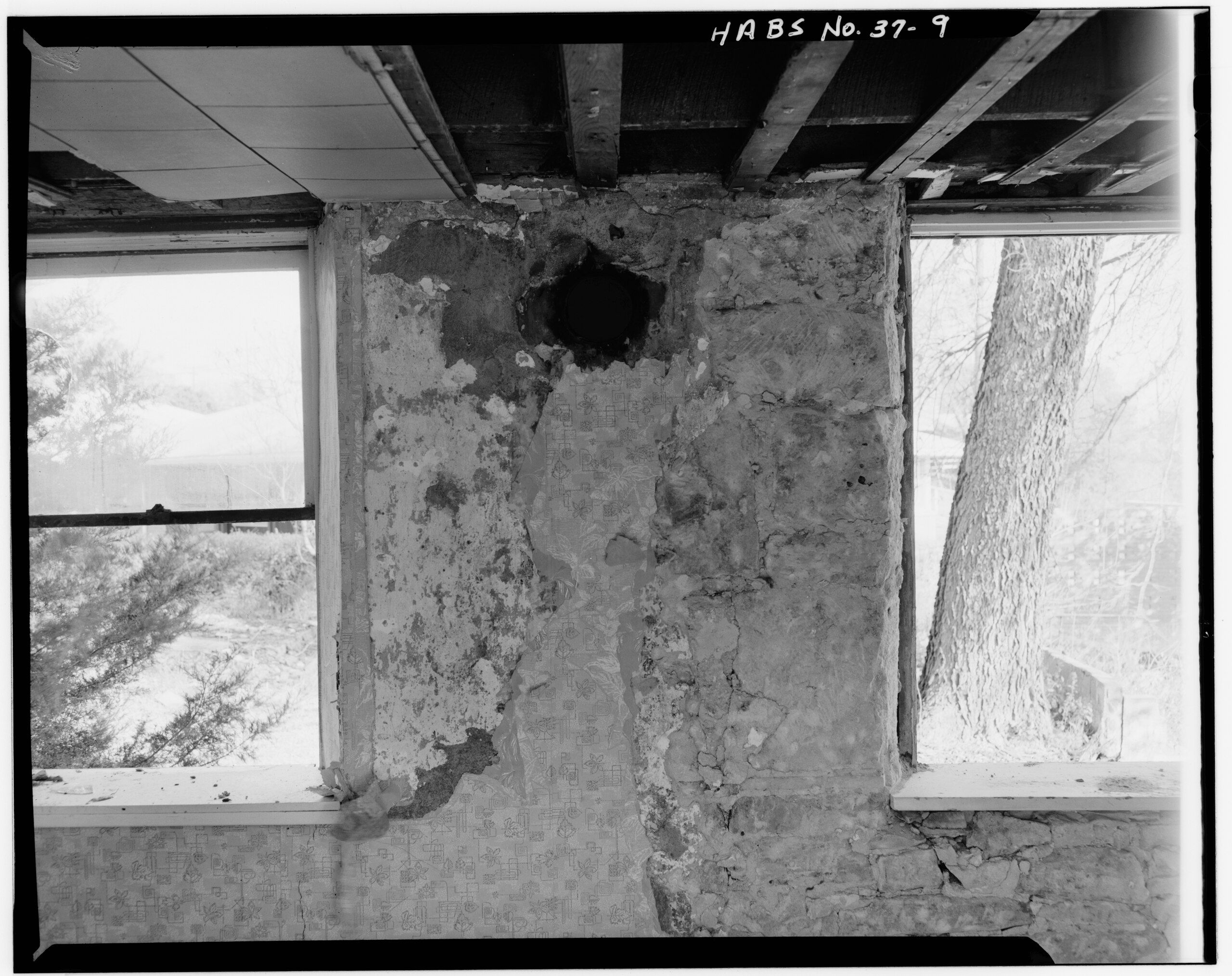
FLUE BREACHING FOR STOVE, EAST WALL OF ROOM 12 - Reuel Nims Store, South terminus of Parkview Street, Humboldt, Richardson County, NE |
|||
| Depicted place | Nebraska; Richardson County; Humboldt | |||
| Date | Documentation compiled after 1933 | |||
| Dimensions | 8 x 10 in. | |||
| Current location |
Library of Congress Prints and Photographs Division Washington, D.C. 20540 USA http://hdl.loc.gov/loc.pnp/pp.print |
|||
| Accession number |
HABS NEB,74-HUMB,1-9 |
|||
| Credit line |
|
|||
| Notes |
|
|||
| Source | https://www.loc.gov/pictures/item/ne0044.photos.103658p | |||
| Permission (Reusing this file) |
|
|||

| Object location | | View this and other nearby images on: OpenStreetMap |
|---|
File history
Click on a date/time to view the file as it appeared at that time.
| Date/Time | Thumbnail | Dimensions | User | Comment | |
|---|---|---|---|---|---|
| current | 02:11, 29 July 2014 |  | 4,981 × 3,946 (18.75 MB) | Fæ (talk | contribs) | GWToolset: Creating mediafile for Fæ. HABS 24 July 2014 (2001:2300) |
You cannot overwrite this file.
File usage on Commons
The following page uses this file: