File:East Hendred.jpg
Jump to navigation
Jump to search
No higher resolution available.
East_Hendred.jpg (640 × 480 pixels, file size: 241 KB, MIME type: image/jpeg)
Captions
Captions
Add a one-line explanation of what this file represents
Summary
[edit]| Description |
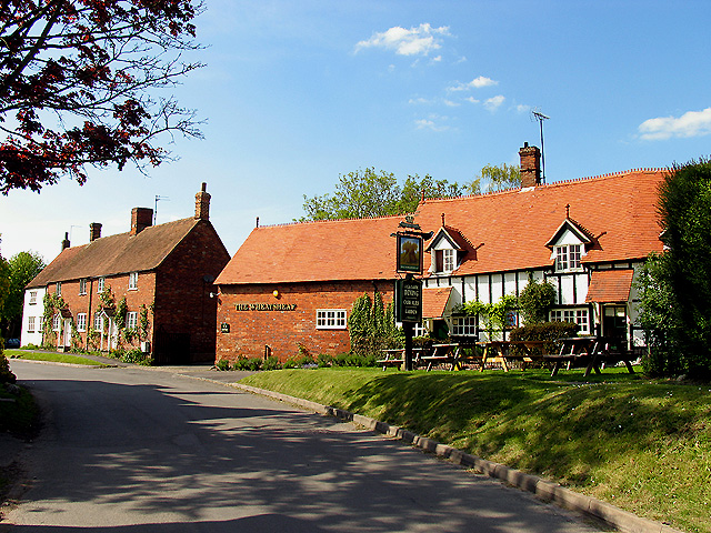
English: The Wheatsheaf pub, Chapel Square, East Hendred, Oxfordshire (formerly Berkshire), seen from the south |
||
| Date | |||
| Source | geograph.org.uk | ||
| Author | Pam Brophy | ||
| Permission (Reusing this file) |
This file is licensed under the Creative Commons Attribution-Share Alike 2.0 Generic license. Attribution: Pam Brophy
|

| Object location | | View this and other nearby images on: OpenStreetMap |
|---|
_region:GB-ENG_&language=en)
File history
Click on a date/time to view the file as it appeared at that time.
| Date/Time | Thumbnail | Dimensions | User | Comment | |
|---|---|---|---|---|---|
| current | 17:30, 6 May 2008 | | 640 × 480 (241 KB) | Polly (talk | contribs) | {{Information |Description=East Hendred Village This picturesque village in the middle of farmland, won the prize for the best kept village in Berkshire in 1973 and Oxfordshire in 1974. The pub is situated inside the triangular road in the north western c |
You cannot overwrite this file.
File usage on Commons
There are no pages that use this file.
File usage on other wikis
The following other wikis use this file:
- Usage on de.wikipedia.org
- Usage on en.wikipedia.org
- Usage on nl.wikipedia.org