File:EAGLE CREEK RECREATION AREA, VIEW OF PICNIC AREA (24615846783).jpg
Jump to navigation
Jump to search
Size of this preview: 800 × 574 pixels. Other resolutions: 320 × 230 pixels | 640 × 459 pixels | 1,024 × 735 pixels.
Original file (1,024 × 735 pixels, file size: 200 KB, MIME type: image/jpeg)
Captions
Captions
Add a one-line explanation of what this file represents
Summary
[edit].jpg&action=edit§ion=1)
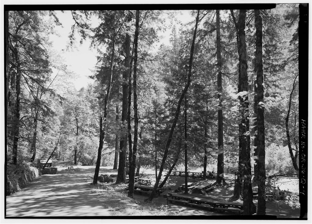
| Description | View of Historic Picnic Area from Eagle Creek Campground Access Road on the Columbia River Gorge National Scenic Area |
| Date | |
| Source | EAGLE CREEK RECREATION AREA, VIEW OF PICNIC AREA |
| Author | U.S. Forest Service- Pacific Northwest Region |
| Camera location | | View this and other nearby images on: OpenStreetMap |
|---|
.jpg¶ms=045.640720_N_-121.925153_E_globe:Earth_type:camera_source:Flickr_&language=en)
Licensing
[edit].jpg&action=edit§ion=2)
| This image was originally posted to Flickr by Forest Service Pacific Northwest Region at https://flickr.com/photos/135886671@N08/24615846783 (archive). It was reviewed on 13 September 2018 by FlickreviewR 2 and was confirmed to be licensed under the terms of the Public Domain Mark. |
This image is a work of the Forest Service of the United States Department of Agriculture. As a work of the U.S. federal government, the image is in the public domain.
|
File history
Click on a date/time to view the file as it appeared at that time.
| Date/Time | Thumbnail | Dimensions | User | Comment | |
|---|---|---|---|---|---|
| current | 14:37, 13 September 2018 | | 1,024 × 735 (200 KB) | Tyler ser Noche (talk | contribs) | Transferred from Flickr via #flickr2commons |
You cannot overwrite this file.
File usage on Commons
There are no pages that use this file.
.jpg&oldid=898972181)