File:Drovers Road to Soar y Mynydd - geograph.org.uk - 359264.jpg
Jump to navigation
Jump to search
No higher resolution available.
Drovers_Road_to_Soar_y_Mynydd_-_geograph.org.uk_-_359264.jpg (640 × 480 pixels, file size: 107 KB, MIME type: image/jpeg)
Captions
Captions
Add a one-line explanation of what this file represents
Summary
[edit]
| Description |
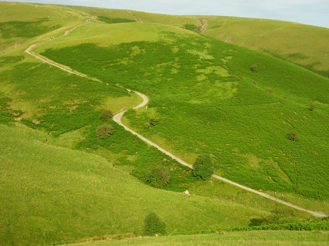
English: Drovers Road to Soar y Mynydd The track climbs steeply from the footbridge/ford at SN 756533. At the double bend you can see the bridleway traversing to the right through the bracken. This bridleway leads down the Doethie towards Rhandirmwyn - a fabulous walk!! |
| Date | |
| Source | From geograph.org.uk |
| Author | Roger Kidd |
| Attribution (required by the license) | Roger Kidd / Drovers Road to Soar y Mynydd / |
| Camera location | | View this and other nearby images on: OpenStreetMap |
|---|
_heading:112.00&language=en)
| Object location | | View this and other nearby images on: OpenStreetMap |
|---|
_heading:112.00&language=en)
Licensing
[edit]

|
This image was taken from the Geograph project collection. See this photograph's page on the Geograph website for the photographer's contact details. The copyright on this image is owned by Roger Kidd and is licensed for reuse under the Creative Commons Attribution-ShareAlike 2.0 license.
|
This file is licensed under the Creative Commons Attribution-Share Alike 2.0 Generic license.
Attribution: Roger Kidd
- You are free:
- to share – to copy, distribute and transmit the work
- to remix – to adapt the work
- Under the following conditions:
- attribution – You must give appropriate credit, provide a link to the license, and indicate if changes were made. You may do so in any reasonable manner, but not in any way that suggests the licensor endorses you or your use.
- share alike – If you remix, transform, or build upon the material, you must distribute your contributions under the same or compatible license as the original.
File history
Click on a date/time to view the file as it appeared at that time.
| Date/Time | Thumbnail | Dimensions | User | Comment | |
|---|---|---|---|---|---|
| current | 18:53, 2 January 2011 | | 640 × 480 (107 KB) | GeographBot (talk | contribs) | == {{int:filedesc}} == {{Information |description={{en|1=Drovers Road to Soar y Mynydd The track climbs steeply from the footbridge/ford at SN 756533. At the double bend you can see the bridleway traversing to the right through the bracken. This bridleway |
You cannot overwrite this file.
File usage on Commons
There are no pages that use this file.