File:Deutsches R Schaumburg-Lippe.png
Jump to navigation
Jump to search
No higher resolution available.
Deutsches_R_Schaumburg-Lippe.png (630 × 520 pixels, file size: 22 KB, MIME type: image/png)
Captions
Captions
Add a one-line explanation of what this file represents
Summary
[edit]
| Description |
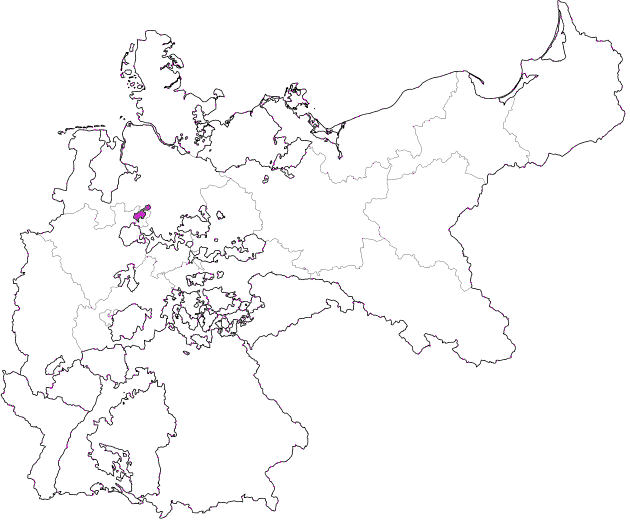
Deutsch: Karte des Deutschen Reiches zu Anbeginn des 20. Jahrhunderts. Neben den einzelnen Gliedstaaten sind auch die preußischen Provinzen auf der Karte verzeichnet. Die Lage Schaumburg-Lippes ist hervorgehoben. |
| Date | 12.08.2006 |
| Source | Image:Deutsches Reich (Karte) Schaumburg-Lippe.svg, based upon map data of the IEG-Maps project by Andreas Kunz, B. Johnen and Joachim Robert Moeschl of the University of Mainz. For further info visit: http://www.ieg-maps.uni-mainz.de. Based on Image:Deutsches Reich (Karte).svg by User:David Liuzzo. |
| Author | User:Sgt bilko, recoloured by Ulamm 15:48, 5 March 2008 (UTC) |
| Permission (Reusing this file) |
This file is licensed under the Creative Commons Attribution-Share Alike 2.0 Germany license.
 |
_Schaumburg-Lippe.svg)
.svg)
File history
Click on a date/time to view the file as it appeared at that time.
| Date/Time | Thumbnail | Dimensions | User | Comment | |
|---|---|---|---|---|---|
| current | 15:48, 5 March 2008 | | 630 × 520 (22 KB) | Ulamm (talk | contribs) | == Beschreibung == {{Information |Description=Deutsch: Karte des Deutschen Reiches zu Anbeginn des 20. Jahrhunderts. Neben den einzelnen Gliedstaaten sind auch die preußischen Provinzen auf der Karte verzeichnet. Die Lage Schaumburg-Lippes ist hervorgeho |
You cannot overwrite this file.
File usage on Commons
There are no pages that use this file.