File:Detail of Frances E. Triplett and Marie Baker headstones facing north - Norris Farm, Cemetery, .5 mile west of County Road 857 and .25 mile east of County Road 88-1, Cheat HABS WVA,31-CHTNK.V,2E-2.tif
Jump to navigation
Jump to search

Size of this JPG preview of this TIF file: 483 × 600 pixels. Other resolutions: 193 × 240 pixels | 386 × 480 pixels | 618 × 768 pixels | 824 × 1,024 pixels | 1,649 × 2,048 pixels | 4,475 × 5,558 pixels.
Original file (4,475 × 5,558 pixels, file size: 23.72 MB, MIME type: image/tiff)
Captions
Captions
Add a one-line explanation of what this file represents
Summary
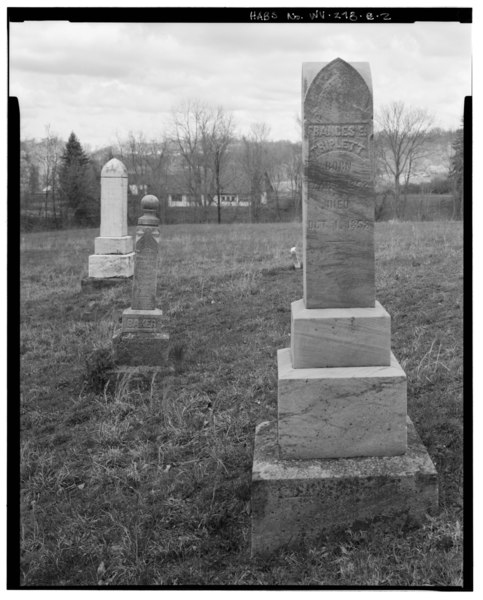
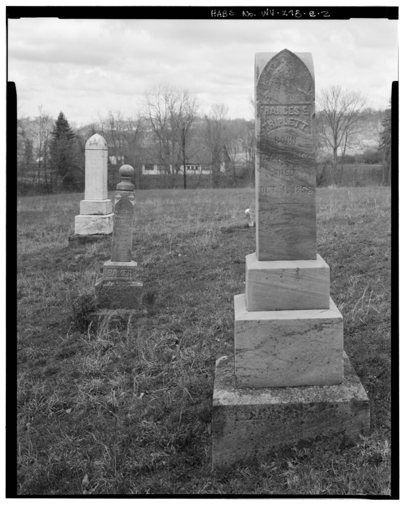
[edit]| Detail of Frances E. Triplett and Marie Baker headstones facing north - Norris Farm, Cemetery, .5 mile west of County Road 857 and .25 mile east of County Road 88-1, Cheat Neck, Monongalia County, WV | ||||
|---|---|---|---|---|
| Title |
Detail of Frances E. Triplett and Marie Baker headstones facing north - Norris Farm, Cemetery, .5 mile west of County Road 857 and .25 mile east of County Road 88-1, Cheat Neck, Monongalia County, WV |
|||
| Description |
Norris family; Baker family; Triplett, Frances E; Baker, Marie; Norris, Luoranah; Baker, George; Meyer, Lauren, transmitter; Shelley, Robert, photographer; KCI Technologies, Incorporated, delineator; Parker, Margaret Bishop, historian; Walls, Gail Lin, historian |
|||
| Depicted place | West Virginia; Monongalia County; Cheat Neck | |||
| Date | Documentation compiled after 1933 | |||
| Dimensions | 4 x 5 in. | |||
| Current location |
Library of Congress Prints and Photographs Division Washington, D.C. 20540 USA http://hdl.loc.gov/loc.pnp/pp.print |
|||
| Accession number |
HABS WVA,31-CHTNK.V,2E-2 |
|||
| Credit line |
|
|||
| Notes |
|
|||
| Source | https://www.loc.gov/pictures/item/wv0526.photos.381809p | |||
| Permission (Reusing this file) |
|
|||

| Object location | | View this and other nearby images on: OpenStreetMap |
|---|
File history
Click on a date/time to view the file as it appeared at that time.
| Date/Time | Thumbnail | Dimensions | User | Comment | |
|---|---|---|---|---|---|
| current | 23:11, 4 August 2014 |  | 4,475 × 5,558 (23.72 MB) | Fæ (talk | contribs) | GWToolset: Creating mediafile for Fæ. HABS 2014-08-04 3801-4000 |
You cannot overwrite this file.
File usage on Commons
The following page uses this file: