File:Dannemora New York USGS topo map 1911.jpg
Jump to navigation
Jump to search
Size of this preview: 428 × 599 pixels. Other resolutions: 171 × 240 pixels | 343 × 480 pixels | 549 × 768 pixels | 732 × 1,024 pixels | 1,464 × 2,048 pixels | 2,587 × 3,619 pixels.
Original file (2,587 × 3,619 pixels, file size: 3.1 MB, MIME type: image/jpeg)
Captions
Captions
Add a one-line explanation of what this file represents
Summary
[edit]
| Camera location | | View this and other nearby images on: OpenStreetMap |
|---|
| Description |
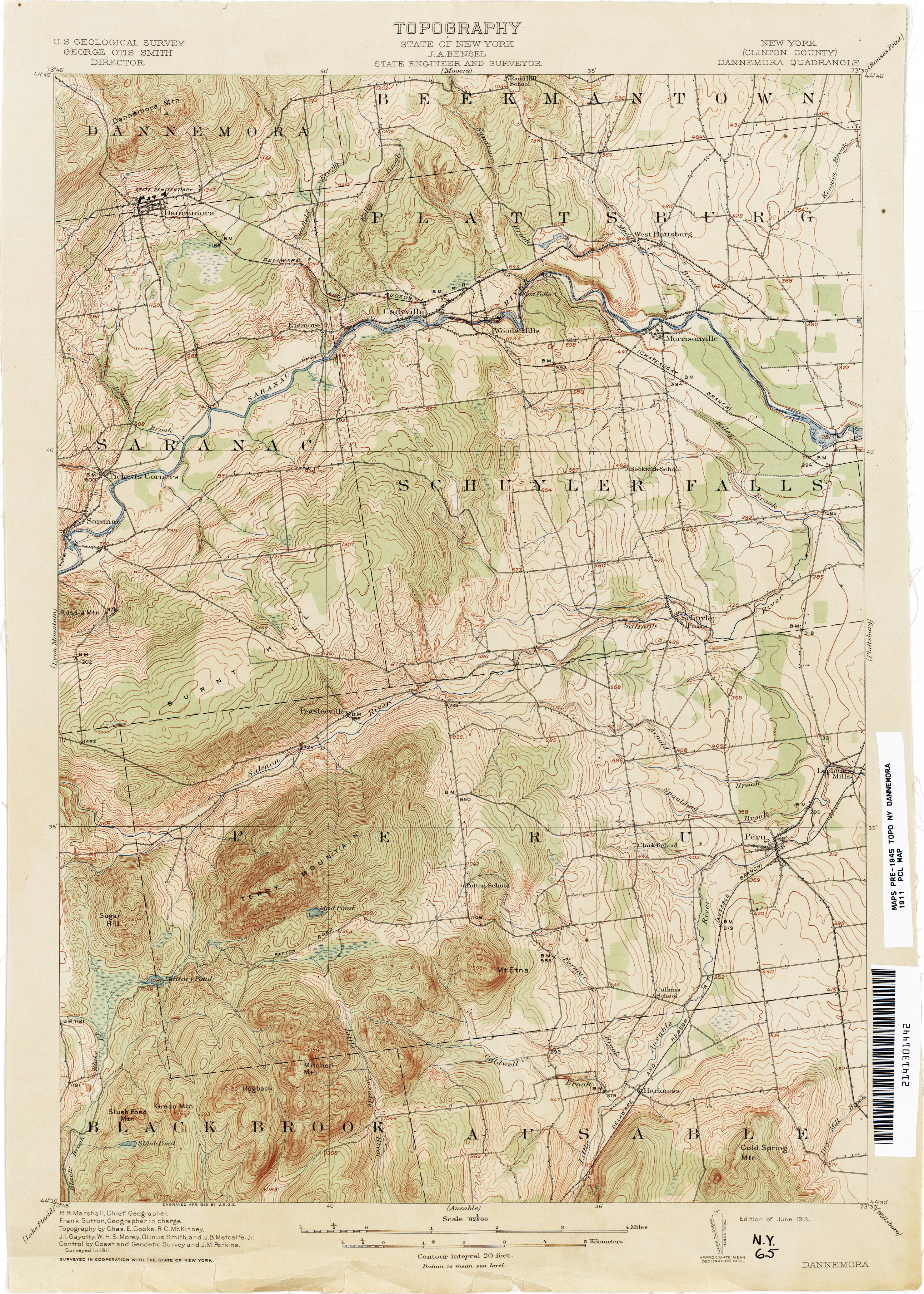
English: Old United States Geological Survey quad map of the Adirondacks in NY State; image of this topographical quadrangle map retrieved from archive at Old Book Art website. |
| Date | |
| Source | http://www.gallery.oldbookart.com/main.php?g2_itemId=30598 |
| Author | USGS |
| Permission (Reusing this file) |
Public domain, rights and usage information confirmed at: http://www.oldbookart.com/about/. |
Licensing
[edit]
This image is in the public domain in the United States because it only contains materials that originally came from the United States Geological Survey, an agency of the United States Department of the Interior. For more information, see the official USGS copyright policy.
|
File history
Click on a date/time to view the file as it appeared at that time.
| Date/Time | Thumbnail | Dimensions | User | Comment | |
|---|---|---|---|---|---|
| current | 18:47, 27 February 2012 | | 2,587 × 3,619 (3.1 MB) | John Sweeney (talk | contribs) |
You cannot overwrite this file.
File usage on Commons
There are no pages that use this file.