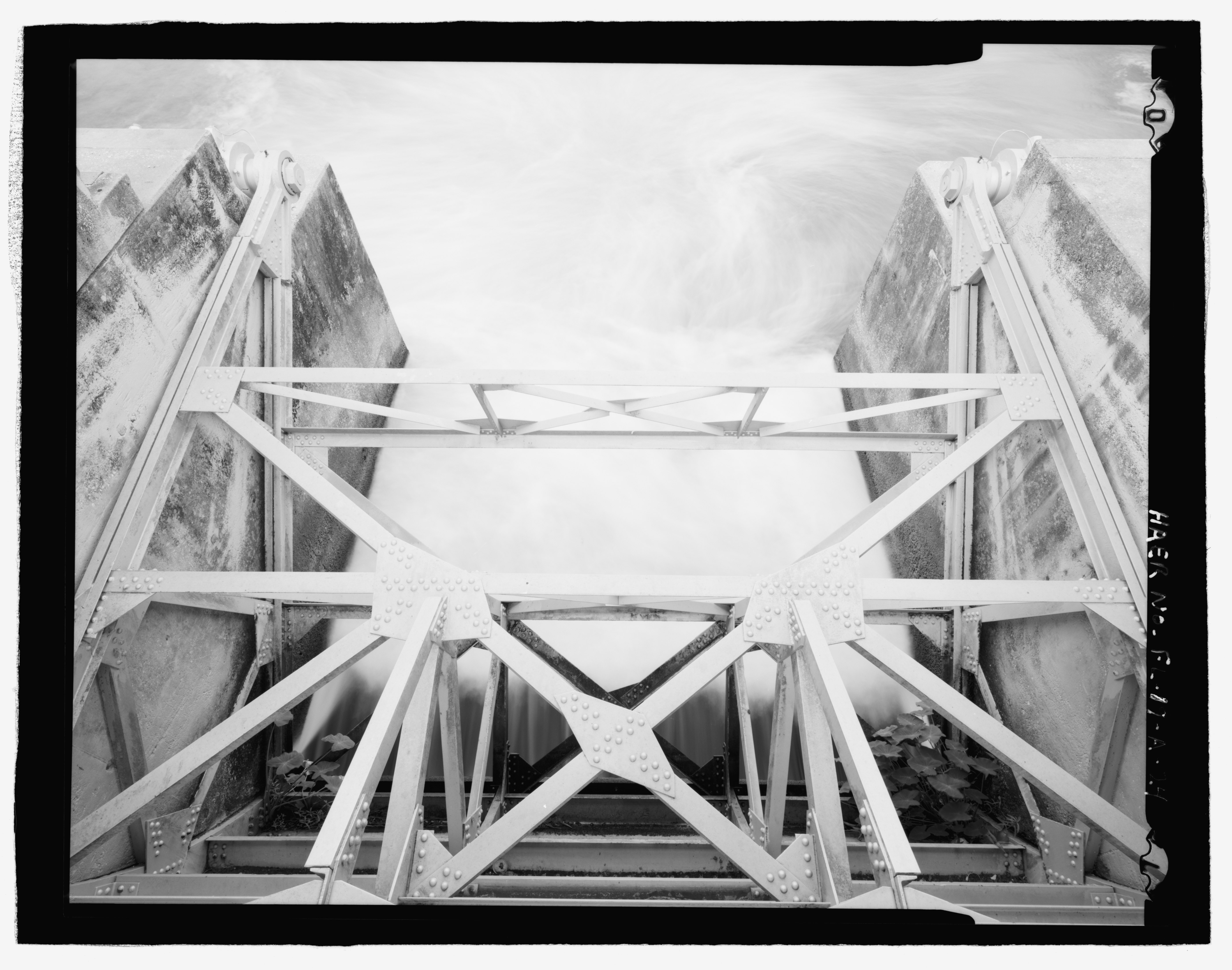
File:DETAIL OF SECOND GATE FROM NORTH SIDE, LOOKING DOWN AT GATE MECHANISM, VIEW TOWARDS DOWNSTREAM (WEST) - Ortona Lock, Lock No. 2, Caloosahatchee River, Cross-State Canal, Okeechobee HAER FL-19-A-24.tif
Jump to navigation
Jump to search

Size of this JPG preview of this TIF file: 762 × 600 pixels. Other resolutions: 305 × 240 pixels | 610 × 480 pixels | 976 × 768 pixels | 1,280 × 1,008 pixels | 2,560 × 2,015 pixels | 5,588 × 4,399 pixels.
Original file (5,588 × 4,399 pixels, file size: 23.45 MB, MIME type: image/tiff)
Captions
Captions
Add a one-line explanation of what this file represents
Summary
[edit]| DETAIL OF SECOND GATE FROM NORTH SIDE, LOOKING DOWN AT GATE MECHANISM, VIEW TOWARDS DOWNSTREAM (WEST) - Ortona Lock, Lock No. 2, Caloosahatchee River, Cross-State Canal, Okeechobee Intracoastal Waterway, Ortona, Glades County, FL | ||||
|---|---|---|---|---|
| Photographer |
Bryant, Richard T. Related names:
|
|||
| Title |
DETAIL OF SECOND GATE FROM NORTH SIDE, LOOKING DOWN AT GATE MECHANISM, VIEW TOWARDS DOWNSTREAM (WEST) - Ortona Lock, Lock No. 2, Caloosahatchee River, Cross-State Canal, Okeechobee Intracoastal Waterway, Ortona, Glades County, FL |
|||
| Depicted place | Florida; Glades County; Ortona | |||
| Date | 2000 | |||
| Dimensions | 4 x 5 in. | |||
| Current location |
Library of Congress Prints and Photographs Division Washington, D.C. 20540 USA http://hdl.loc.gov/loc.pnp/pp.print |
|||
| Accession number |
HAER FL-19-A-24 |
|||
| Credit line |
|
|||
| Notes |
|
|||
| Source | https://www.loc.gov/pictures/item/fl0670.photos.221027p | |||
| Permission (Reusing this file) |
|
|||

| Object location | | View this and other nearby images on: OpenStreetMap |
|---|
File history
Click on a date/time to view the file as it appeared at that time.
| Date/Time | Thumbnail | Dimensions | User | Comment | |
|---|---|---|---|---|---|
| current | 03:46, 13 July 2014 |  | 5,588 × 4,399 (23.45 MB) | Fæ (talk | contribs) | GWToolset: Creating mediafile for Fæ. HABS 09 July 2014 (801:1000) |
You cannot overwrite this file.
File usage on Commons
The following page uses this file: