File:DETAIL ELEVATION OF FORMER SHELL MILL BUILDING. - F. and H. Benning Company, 1014 Benning Road, Galesville, Anne Arundel County, MD HAER MD-138-3.tif
Jump to navigation
Jump to search

Size of this JPG preview of this TIF file: 742 × 599 pixels. Other resolutions: 297 × 240 pixels | 594 × 480 pixels | 951 × 768 pixels | 1,268 × 1,024 pixels | 2,535 × 2,048 pixels | 5,388 × 4,353 pixels.
Original file (5,388 × 4,353 pixels, file size: 22.37 MB, MIME type: image/tiff)
Captions
Captions
Add a one-line explanation of what this file represents
Summary
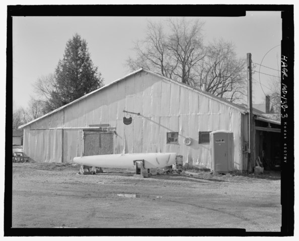
[edit]| DETAIL ELEVATION OF FORMER SHELL MILL BUILDING. - F. and H. Benning Company, 1014 Benning Road, Galesville, Anne Arundel County, MD | ||||
|---|---|---|---|---|
| Photographer |
Croteau, Todd A. |
|||
| Title |
DETAIL ELEVATION OF FORMER SHELL MILL BUILDING. - F. and H. Benning Company, 1014 Benning Road, Galesville, Anne Arundel County, MD |
|||
| Description |
Benning, Carl; Benning, Frank; Benning, Harry; Evans Company; Mast and Mallet |
|||
| Depicted place | Maryland; Anne Arundel County; Galesville | |||
| Date | Documentation compiled after 1968; 2005 | |||
| Dimensions | height: 4 in (10.1 cm); width: 5 in (12.7 cm) | |||
| Current location |
Library of Congress Prints and Photographs Division Washington, D.C. 20540 USA http://hdl.loc.gov/loc.pnp/pp.print |
|||
| Accession number |
HAER MD-138-3 |
|||
| Credit line |
|
|||
| Notes |
|
|||
| Source | https://www.loc.gov/pictures/item/md1695.photos.222474p | |||
| Permission (Reusing this file) |
|
|||

| Object location | | View this and other nearby images on: OpenStreetMap |
|---|
File history
Click on a date/time to view the file as it appeared at that time.
| Date/Time | Thumbnail | Dimensions | User | Comment | |
|---|---|---|---|---|---|
| current | 22:11, 28 July 2014 |  | 5,388 × 4,353 (22.37 MB) | Fæ (talk | contribs) | GWToolset: Creating mediafile for Fæ. HABS 21 July 2014 (1601:1800) |
You cannot overwrite this file.
File usage on Commons
The following page uses this file: